

Tashi Lapcha Pass Trek (18 Days)
Difficulty: 4/5Duration: 18 DaysDistance: 135 km Table of Contents Introduction to Tashi Lapcha Pass Trek Tashi Lapcha Pass Elevation & … <a class="read-more text-primary fw-semibold" href="https://www.trekkingtrials.com/trek/tashi-lapcha-pass-trek-18-days/">Read More »</a>
Tashi Lapcha Pass Trek
18-day route crossing the remote Tashi Lapcha Pass. High-altitude glacial terrain, rocky moraines, and cold nights above 4,000m.
Key Trail Realities
What to expect along the route
Remote Rolwaling Valley Approach
Traverse the deep, less-traveled Rolwaling river canyon beneath towering granite walls and suspended hanging glaciers.
High Altitude Glacier Traverse
Navigate complex ice and snow-covered terrain near the 5,750-meter pass summit requiring crampons and rope support.
Traditional Sherpa Settlements
Pass through isolated upper mountain hamlets featuring stone houses and slate roofs built against wind-scoured hillsides.
Steep Lateral Moraine Climbs
Ascend loose gravel tracks and steep dirt switchbacks alongside retreating glacial ice fields.
Khumbu Valley Descent
Exit the high wilderness zone down into the established infrastructure of the main Everest trekking paths.
Technical Pass Logistics
Manage early pre-dawn alpine starts to cross freezing high-elevation cols before morning sun destabilizes snowpack.
Remote Teahouse Facilities
Expect minimal lodge accommodations above Beding where dining rooms rely on yak dung or wood for heating.
High Elevation Acclimatization
use dedicated rest days above 3,500 meters to let red blood cell levels adjust before tackling technical ridges.
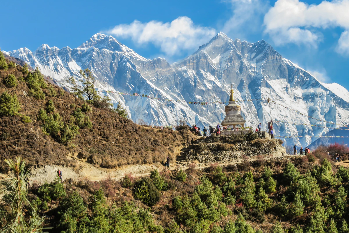
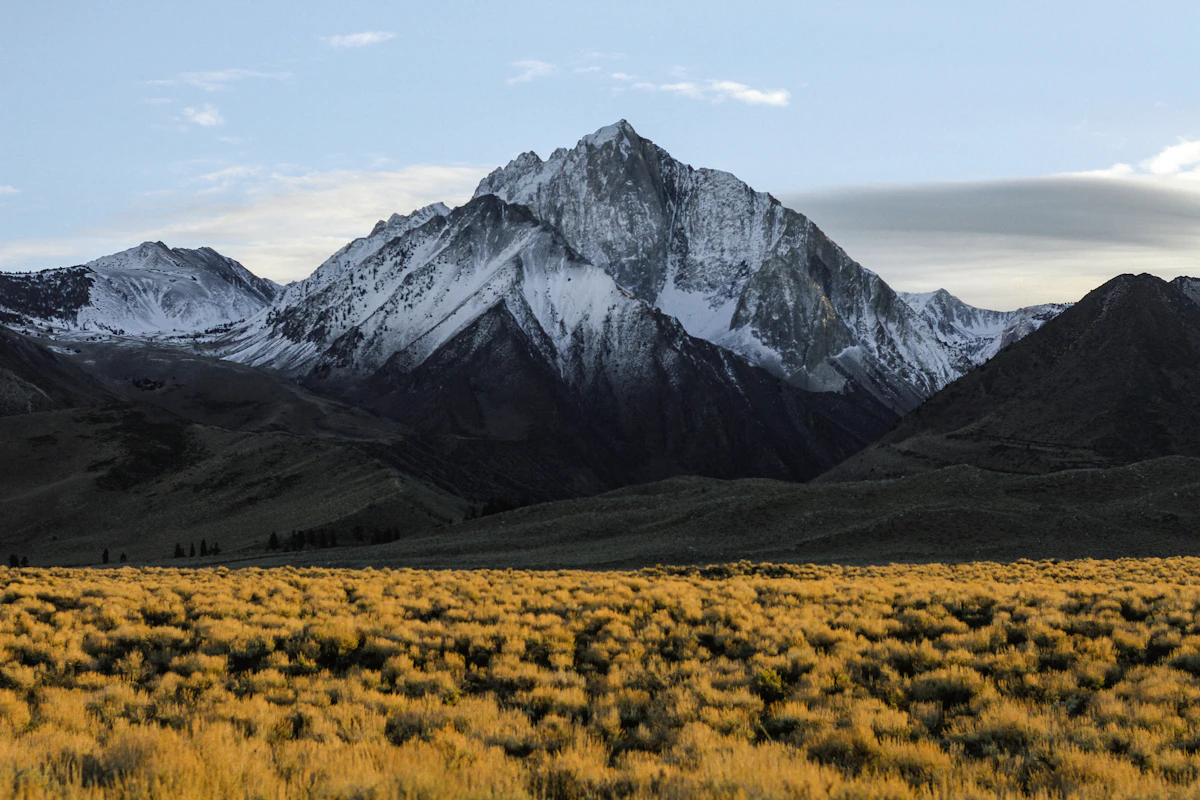
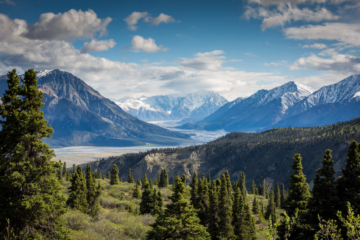
Trail Photos & Videos
High-definition captures and video clips from Himalayan passes, glacial lakes, Sherpa villages, and mountain summits.


Tashi Lapcha Pass Trek (18 Days) Trail Map
Interactive OpenStreetMap topographic trail map tracing the route.
Key High-Altitude Stops
Compatible with Garmin, Apple Watch, Strava & Gaia GPS
Tashi Lapcha Pass Trek (18 Days) Weather Center
Real-time mountain weather and 5-day altitude forecasts across key Tashi Lapcha Pass Trek (18 Days) waypoints.
Loading weather for ...
Choose waypoint
Altitude Chart & Acclimatization Nodes
Strict adherence to "Hike High, Sleep Low" ensures safe high-altitude adaptation.
Complete Itinerary Route
Explore the detailed day-by-day routing, acclimatization schedule, and trek milestones.
Kathmandu to Gongar Khola
The drive from Kathmandu follows winding highways on bumpy unpaved roads before reaching Gongar Khola. You encounter heavy dust and diesel fumes during the initial highway stretch. Pack your water bottle securely because roadside dust settles quickly on all exposed gear.
Gongar Khola to Simigaon
You climb steeply up stone staircases through dense subtropical forest toward Simigaon. The trail features humid conditions and persistent step-climbing that strains the calves early on. Rooms at Simigaon are basic wooden huts with thin partitions and freezing night temperatures.
Simigaon to Dongang
The route winds through damp forest alongside the Rolwaling River over exposed tree roots. Watch your footing on the slick, muddy sections beneath the dense canopy cover. Carry adequate water purification tablets as natural spring sources require treatment here.
Dongang to Beding
You trek alongside the roaring Rolwaling River through narrowing canyon walls and rocky terrain. Altitude starts to manifest as shortness of breath on the gradual uphill grades. Beding offers a permanent Sherpa settlement with thick stone-built houses and wind-protected lodging.
Acclimatization Day in Beding
AcclimatizationAn essential rest day involves a steep day-hike up the ridge above Beding for altitude adaptation. Strong winds whip across the open ridgeline, requiring a windproof shell jacket immediately. Drink at least four liters of boiled water to manage mild altitude headaches.
Beding to Na
HighlightThe trail ascends gradually through open yak pastures beneath towering rock walls and hanging glaciers. Cold valley winds pick up sharply by midday, making thermal layers necessary. Na is a traditional summer herding settlement with minimal solar electricity for charging devices.
Acclimatization Day in Na
AcclimatizationYou hike toward the Yalung Glacier moraine to assist red blood cell adaptation at higher elevations. The gravel path is loose and slippery underfoot, demanding careful trekking pole placement. Temperatures drop below freezing as soon as the sun dips behind the peaks.
Na to Yalung
The path tracks past sacred glacial lakes and across rocky lateral moraines toward Yalung. High-altitude fatigue sets in steadily as oxygen levels decrease noticeably along the valley floor. Keep your spare camera batteries close to your body heat to prevent rapid drainage.
Yalung to Tsho Rolpa Lake
You walk along the edge of the massive Tsho Rolpa glacial lake moraine under expansive skies. Frigid winds sweep directly off the water surface, demanding gloves and a warm hat. Frost forms thickly on the tent and lodge windows overnight at this altitude.
Tsho Rolpa to Trakarding Glacier
HighlightThe route enters technical terrain requiring careful navigation across unstable glacial debris and moraine walls. Falling rocks pose a real hazard along the cliff edges, so a climbing helmet is essential. Sleep comes fitfully as temperatures plunge deep below freezing in the basic shelter.
Trakarding Glacier to Daldung La
HighlightYou negotiate steep icy gullies and rocky ridges using fixed ropes where snowpack remains treacherous. Physical exertion is exhausting due to the thin air and unforgiving terrain surfaces. Proper hydration is critical here to stave off severe altitude sickness symptoms.
Daldung La to Beding Base (High Camp)
The relentless climb to High Camp follows steep snow slopes and exposed rock ribs. High-altitude winds buffet the campsite, making tent pitching a challenging group effort. Prepare all your technical gear tonight for an extremely early alpine start tomorrow.
High Camp over Tashi Lapcha Pass to Pachermo Base
HighlightYou start before dawn in freezing darkness to cross the demanding Tashi Lapcha Pass with crampons and ropes. The high altitude and steep ice slopes demand maximum physical endurance and absolute focus. Descending the far side requires careful management of rope anchors on loose scree.
Pachermo Base to Thame
The long descent leads down through rocky valleys toward the historic Sherpa village of Thame. Your knees absorb heavy impacts on the continuous downhill stone staircases. Thame offers comfortable teahouses with warm dining stoves and bakery items.
Thame to Namche Bazaar
HighlightThe trail traverses pine forests and crossing suspension bridges high above rushing river gorges. Dust from mule trains can irritate your throat along this busier junction path. Namche Bazaar provides extensive market stalls, bakeries, and reliable electricity.
Namche Bazaar to Lukla
HighlightYou descend steeply down stone steps through pine forests to cross multiple suspension bridges. The final uphill push into Lukla tests your tired legs after weeks on the trail. Celebrate the completion of the technical pass trek with your guide and porters.
Lukla to Kathmandu Flight
The morning flight out of Lukla depends entirely on clear visibility through the mountain corridors. High winds or cloud cover frequently cause sudden flight cancellations and delays. Keep schedule flexibility in your itinerary for potential weather groundings.
Departure from Kathmandu
You pack your expedition gear and organize transfers to the international airport for your flight home. Traffic congestion in Kathmandu can cause unexpected delays on the drive to the terminal. Double-check that all permits and trekking gear are properly stored before leaving.
What's Covered & What's Not
A clear breakdown so you know exactly what to budget for and what's already taken care of.
Gaurishankar Conservation Area Permit
- Required national conservation area entry documentation processed through the Nepal Tourism Board in Kathmandu before departing for the trailhead.
Rolwaling Valley Local Municipality Fee
- District rural municipality tax supporting local trail maintenance and emergency rescue response networks across the approach valley.
Ground Transport to Trailhead
- Local bus or 4WD shared jeep transfer from Kathmandu to Gonggar or Simigaon depending on road conditions and seasonal clearing.
Teahouse Lodge Accommodation
- Basic twin-share lodging in lower Rolwaling settlements such as Beding and Na, transitioning to tented camping setups above Na and across the Tashi Lapcha pass.
International Airfare
- Flights from your origin country into Tribhuvan International Airport in Kathmandu.
Nepal Entry Visa
- Tourist visa fees payable upon arrival at Kathmandu airport ($30 USD for 15 days, $50 USD for 30 days, or $125 USD for 90 days).
High Altitude Evacuation Insurance
- Comprehensive travel insurance policy with explicit written coverage for emergency helicopter search, rescue, and medical evacuation above 5,750 meters.
On-Trail Personal Expenses
- Hot showers, battery charging fees, bottled or boiled drinking water, hot lemon, garlic soup, and tips for local guide and porter crews.
Trail Meals & Hydration Rules
What to eat for stamina and altitude safety
Dhal Bhat Power
Rice, lentil soup, spiced potato, and spinach. Always comes with free refills to refuel after 6 hours on trail.
Garlic Soup
Thin clear garlic broth. Local guides drink this daily above 3,500m to help with blood circulation and warmth.
Boiled & Fried Potatoes
Dense carbohydrate source served with local yak cheese or chili paste in high settlements.
Tibetan Bread & Honey
Deep-fried puffed flatbread. Hearty breakfast before an early morning climb.
Sherpa Stew (Shyakpa)
Thick vegetable and hand-pulled flour noodle soup served steaming hot.
Boiled Eggs
Safe, reliable protein source available every morning at lodge kitchens.
Boiled Water Bottles
Buy boiled water (Rs 150–300/liter) at night and keep the bottle inside your sleeping bag for warmth.
Ginger Lemon Honey Tea
Warm drink that cuts the dry mountain cough and stays hot in an insulated thermos.
Electrolyte Packs
Add one electrolyte sachet to 1L of water daily to replace salts lost on steep ascents.
Water Purification Drops
Use Aquatabs or chlorine dioxide tablets for tap water; wait full 30 minutes before drinking.
Vegetarian Focus
Vegetarian dhal bhat and veg noodles are always the freshest food on high trails.
Naturally Gluten-Free
Rice dishes, plain boiled potatoes, and buckwheat porridge are naturally gluten-free.
Black Chiya Option
Ask for 'Kalo Chiya' (black tea) to avoid powdered milk if you are lactose sensitive.
Lodge Kitchen Flexibility
Cooks can prepare food with less chili or no salt upon request if you ask before 5:00 PM.
No Meat Above 3,500m
Meat is carried up on foot for days without refrigeration. Stick to vegetarian meals high up.
No Alcohol at High Camp
Alcohol causes rapid dehydration and masks early symptoms of altitude sickness.
Never Drink Untreated Water
Never drink directly from village taps or streams without filtration or purification tablets.
Skip Raw Salads
Stick to thoroughly cooked hot vegetables to prevent stomach upsets.
Trip Preparation & Rules
Paperwork, flight baggage limits, and cash guidelines
Passport & Tourist Visa
Passport valid for 6+ months. Secure a 30-day tourist visa on arrival at Kathmandu airport using cash USD or major currency.
High-Altitude Rescue Insurance
Insurance policy must explicitly cover emergency helicopter evacuation above 6,000m. Keep digital and printed copies of the policy.
Passport-Sized Photos
Carry four physical passport photos for checkpoint registration papers and local mobile network card setup.
Certified Copies of Documents
Keep separate paper photocopies of your passport, visa stamp, insurance card, and emergency contact details in a waterproof pouch.
Gaurishankar Conservation Area Permit
Required entry permit obtained through the Nepal Tourism Board office in Kathmandu before departing for the trailhead.
Rolwaling & Khumbu Local Permits
Local government rural municipality entry fees collected at trail checkpoints along the Rolwaling Valley approach.
Tashi Lapcha Pass Climbing Royalty
Special alpine pass and peak climbing permits issued via registered trekking agencies in coordination with the Nepal Mountaineering Association.
Domestic Baggage Restrictions
Mountain flights cap total luggage weight at 15kg per passenger, divided into 10kg checked duffel and 5kg hand luggage.
Weather-Dependent Schedules
Mountain airstrip flights experience frequent fog and wind delays. Build 2 to 3 contingency buffer days into your travel schedule.
Helicopter Charter Contingency
If scheduled flights are grounded for multiple days, chartering a private helicopter remains the only way out, costing $2,500–$4,000 USD.
Nepalese Rupee Cash Reserves
Carry sufficient physical NPR cash for all personal expenses, meals, battery charging, and hot showers beyond district administrative hubs.
No ATM Access on Trail
Cash withdrawal machines disappear past lower valley settlements. Do not rely on plastic cards once walking begins.
Small Denomination Banknotes
Teahouse operators cannot easily break 1,000-rupee notes for small purchases. Stock up on Rs 100 and Rs 500 bills in Kathmandu.
Trail Customs & Rules
Practical rules for passing animals, stupas, and village paths
Pass Stupas Clockwise
- •Always keep Mani stones, chortens, and prayer walls on your right side.
- •Spin prayer wheels in a clockwise direction only.
- •Never sit, stand, or place gear on inscribed prayer stones.
Pack Animal Right-of-Way
- •Step toward the mountain wall side when yak, dzopkyo, or mule caravans pass.
- •Never stand on the outside edge of a narrow trail near a drop-off.
- •Wait until the entire string of animals passes before moving forward.
Photography Protocols
- •Ask permission before photographing residents, children, or working porters.
- •Strictly avoid flash photography inside monastery prayer halls.
- •Leave a small cash donation in the box when entering active gompas.
Waste Management
- •Carry all non-biodegradable trash, foil wrappers, and batteries back down.
- •Avoid discarding wet wipes or sanitary products in teahouse pit toilets.
- •Use water purification methods instead of purchasing single-use plastic bottles.
Teahouse and Village Conduct
- •Remove boots and muddy gaiters before entering dining rooms.
- •Keep voice volumes low in shared sleeping quarters after 9 PM.
- •Support your lodge by purchasing dinner, breakfast, and boiled water on-site.
Local Interpersonal Norms
- •Use the traditional greeting of 'Namaste' with palms pressed together.
- •Dress respectfully in villages by covering shoulders and knees.
- •Respect local religious ceremonies and avoid disturbing monks during prayer.
Permits & Emergency Directory
Current permit fee structures and official emergency contacts
Required Permits & Mandatory Fees
-
📜Gaurishankar Conservation Area Permit NPR 3,000
Mandatory entry permit required for trekking through the Gaurishankar Conservation Area, obtained in Kathmandu.
-
📜Khumbu Pasang Lhamu Rural Municipality Fee NPR 3,000
Local government entry fee replacing the TIMS card in the Rolwaling and Khumbu regions.
-
☘️Tashi Lapcha Pass Climbing Royalty Variable by Season
Required mountaineering royalty for crossing technical high passes, arranged through a government-licensed agency.
Nepal Tourism Directory
Official contact channels for permits, park regulations, and emergency rescue assistance.
Power, Connectivity & Showers
Realistic day-to-day guide for charging, phones, and hygiene
Device Charging
Electricity relies heavily on solar panels in remote valleys. Teahouses charge NPR 300 to 600 per device or power bank. Carry a high-capacity power bank and keep it warm inside your sleeping bag to prevent rapid battery drain.
Mobile Connectivity
Nepal Telecom (NTC) and Ncell signals drop significantly once you enter deep gorges and high mountain passes. Local networks disappear entirely near high camps, so satellite messengers or inReach devices are essential for remote communication.
Hot Showers
Hot showers are scarce above Namche Bazaar or the lower trailheads. Basic gas or solar-heated buckets cost NPR 400 to 700. Temperatures drop below freezing at higher elevations, making wet wipes and dry shampoo far more practical than cold-room washing.
Water & Sanitation
Plastic bottled water is restricted in many conservation zones. Use double-walled bottles with chlorine dioxide tablets, UV purifiers, or boiled water from teahouses. Keep your water bottles insulated at night so they do not freeze solid.
Altitude Safety & Health
How to handle altitude symptoms and emergency protocols
Daily Symptom Monitoring
Watch closely for early acute mountain sickness signs: a throbbing headache that ibuprofen does not fix, loss of appetite, persistent nausea, and insomnia.
Helicopter Evacuation
Ensure your insurance policy explicitly covers emergency helicopter rescue and medical evacuation up to 6,000 meters for remote alpine regions.
Satellite Communication
Cellular signal disappears completely beyond upper Rolwaling and Gaurishankar conservation areas. Guides must carry satellite communicators or Garmin inReach devices.
Hydration Management
Count hot lemon, black tea, and garlic soup toward your daily 4-liter fluid goal. Dehydration accelerates altitude sickness silently and rapidly.
The Golden Altitude Rule
If you experience ataxia (stumbling like intoxication), a gurgling cough, or worsening headache despite rest, drop 500 to 1,000 meters immediately. Descent is the only guaranteed cure for HAPE and HACE.
Highland Communities & Alpine Ecology
Indigenous Sherpa traditions and wildlife along the Rolwaling and Tashi Lapcha route
Rolwaling Sherpa Heritage
High-altitude settlements inhabited by Sherpa communities preserving ancient Tibetan cultural practices and dialect.
Stone Teahouse Architecture
reliable dry-stone lodges featuring central metal stoves that burn yak dung or dried juniper for heat.
Traditional Yak Wool Garments
Thick woven blankets and woolen robes crafted by local families to withstand sub-zero winter temperatures.
Beding and Na Gompas
Historic Buddhist prayer halls tucked beneath towering rock faces, serving as spiritual anchors for remote settlements.
Carved Mani Stones
Weathered slate slabs inscribed with Tibetan mantras lining riverbanks and approaches to high lateral moraines.
Gaurishankar Massif Reverence
Sacred peaks viewed by local communities as divine protectors governing valley weather and seasonal grazing.
Himalayan Tahr & Serow
Steep rocky slopes harbor nimble mountain ungulates grazing on high-altitude scrub and lichen.
Sub-Alpine Pine & Juniper
Lower valley approaches transition from dense pine and rhododendron forests to stunted juniper brush near the treeline.
High-Altitude Raptors
Golden eagles and lammergeiers drift on thermal currents above the Tsho Rolpa glacial basin and high pass ridges.
Essential Packing Checklist
Prepare 1 duffel bag (handled by porter team) and 1 daypack for personal warm layers & water.
Frequently Asked Questions
Honest answers about the Tashi Lapcha Pass Trek route