
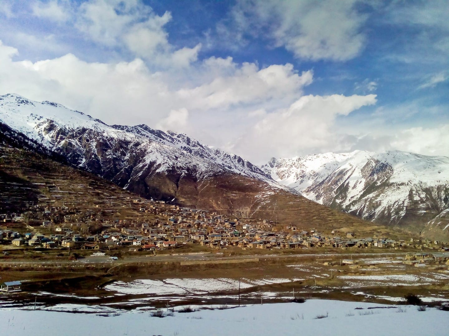
Humla Limi Valley Trek (17 Days) 17 Days Guide
Trail notes for Humla Limi Valley Trek. Daily walking hours, pass elevations, teahouse stops, and permit logistics.
Humla Limi Valley Trek
A remote 17-day journey through the Humla Limi Valley Trek (17 Days) in far-western Nepal. Expect rigorous walking across high mountain passes, ancient Tibetan-influenced settlements, deep river gorges, and rugged semi-arid terrain requiring careful physical preparation.
Key Trail Realities
What to expect along the route
Ultimate Humla Limi Valley Trek Permits
Securing restricted area permits requires a registered guide and a minimum of two trekkers. Costs include USD 90 per week for Limi Valley, plus standard conservation fees, paid directly through an authorized Kathmandu trekking agency.
Essential Humla Limi Valley Trek Pass
Crossing the high Nyalu La pass sits at 4,940m, demanding an early 5:00 AM start. Expect a grueling 6-hour climb across steep, loose scree fields with temperatures dropping to -10°C overnight.
Expert Humla Limi Valley Trek Lodging
Basic stone teahouses cost around Rs 500 per night, offering minimal shelter and no heating in common rooms. Carrying a -20°C rated sleeping bag is essential for survival against freezing night temperatures indoors.
Best Humla Limi Valley Trek Meals
Teahouse menus rely on staple foods like dal bhat, potato curry, and simple noodle soups. Prices rise up to Rs 600 per plate as supply lines stretch deeper into remote high-altitude settlements.
Expert Humla Limi Valley Trek Terrain
Daily walking stretches across 5 to 7 hours of remote dirt trails, boulder fields, and suspension bridges. Steep climbs test endurance as elevations steadily rise toward the Tibetan border plateau.
Ultimate Humla Limi Valley Trek Culture
Ancient Tibetan Buddhist villages such as Halji and Til feature stone-piled alleyways, centuries-old monasteries, and traditional prayer wheels operated by local herdsmen wearing heavy wool garments.
Essential Humla Limi Valley Trek Water
Natural river and stream sources require strict chemical purification or boiling to prevent waterborne illness. Teahouses rarely provide treated drinking water, making a reliable filter mandatory for every 8-hour stretch.
Best Humla Limi Valley Trek Weather
Daytime temperatures hover around 10°C to 15°C under harsh sun, dropping sharply below freezing after dark. Strong valley winds common by 2:00 PM require windproof layers and sturdy sunglasses.
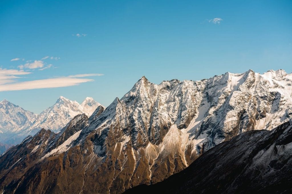
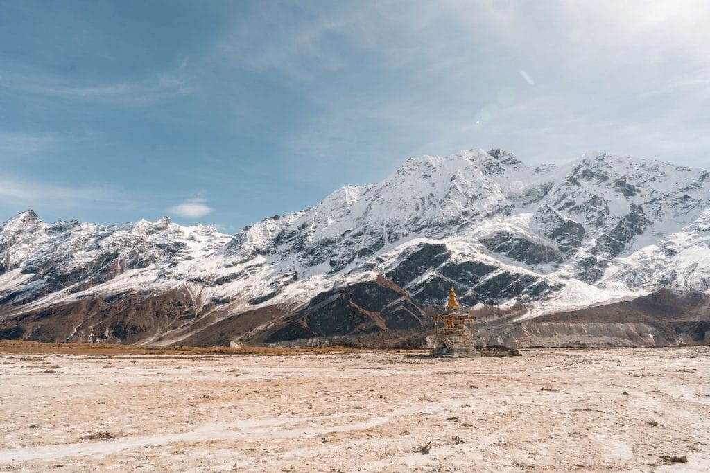
Trail Photos & Videos
High-definition captures and video clips from Himalayan passes, glacial lakes, Sherpa villages, and mountain summits.



Humla Limi Valley Trek (17 Days) Trail Map
Interactive OpenStreetMap topographic trail map tracing the route.
Key High-Altitude Stops
Compatible with Garmin, Apple Watch, Strava & Gaia GPS
Humla Limi Valley Trek (17 Days) Weather Center
Real-time mountain weather and 5-day altitude forecasts across key Humla Limi Valley Trek (17 Days) waypoints.
Loading weather for ...
Choose waypoint
Altitude Chart & Acclimatization Nodes
Strict adherence to "Hike High, Sleep Low" ensures safe high-altitude adaptation.
Complete Itinerary Route
Explore the detailed day-by-day routing, acclimatization schedule, and trek milestones.
Nepalgunj to Simikot
HighlightCatch the early morning twin-engine flight from Nepalgunj over rugged western ridges to land at the mountain airstrip in Simikot. The air feels noticeably thinner as you step out into the high-altitude wind. Spend the afternoon organizing heavy gear, checking permits, and walking through the administrative district headquarters to adjust.
Simikot to Dharapuri
Descend slightly before climbing steeply on a dusty, exposed trail carved into the rocky cliffside above the Karnali River. Watch for mule caravans kicking up gravel as they transport essential supplies northward. The afternoon sun beats down intensely on the arid slopes, making hydration essential before reaching the small settlement of Dharapuri.
Dharapuri to Khingma
HighlightFollow the winding Karnali River canyon past terraced fields of barley and scattered walnut trees. The trail crosses several suspension bridges that sway over rushing glacial water. Expect a gradual, lung-burning uphill push in the afternoon heat as you approach the quiet overnight halt at Khingma.
Khingma to Yalbang
HighlightTrek upward along steep, barren hillsides where the canyon walls narrow dramatically around the rushing river. The terrain involves loose scree and rocky steps that demand careful foot placement. Arrive early at Yalbang to visit the large local monastery and observe evening prayers chanted by resident monks.
Yalbang to Muchu
HighlightClimb steadily away from the river on an exposed trail featuring classic trans-Himalayan dry landscapes. The wind picks up significantly by midday, carrying fine dust across the path. Muchu sits on a ridge offering wide views of the valley below, and evening temperatures drop sharply once the sun sets.
Muchu to Tumkot
AcclimatizationEnjoy a shorter walking day that allows vital acclimatization as elevation gains accumulate. The path leads past traditional stone houses and mani walls inscribed with Tibetan Buddhist mantras. Use the extra afternoon hours to rest, wash dust out of your clothes, and drink plenty of boiled water.
Tumkot to Yari
Trek past sparse juniper bushes into a much colder, alpine landscape devoid of tall trees. The trail grows increasingly steep and rocky as it switchbacks up toward the high plateau country. Nights in Yari are notably freezing, so keep your sleeping bag and insulated layers ready inside the unheated rooms.
Yari to Hilsa via Nara La Pass
HighlightStart before dawn to tackle the grueling, wind-scoured climb up to the Nara La Pass. High altitude makes every step heavy and labored across the exposed summit ridge. Descend steeply down a series of loose, zigzagging gravel switchbacks toward the Tibetan border settlement of Hilsa on the riverbank.
Hilsa to Manepeme
Leave the border area and follow the Limi River upstream along a narrow, cliff-hanging trail. The route requires careful navigation across minor rockfall zones and steep, sandy slopes. Reach Manepeme, a remote camping and lodge spot named after its prominent roadside prayer stone.
Manepeme to Til
HighlightClimb over a high ridge marked by fluttering prayer flags before dropping down into the isolated Limi Valley. The terrain remains rugged and remote, with little vegetation besides hardy mountain scrub. Arrive in Til, a traditional Tibetan-style village featuring whitewashed houses and ancient barley fields.
Til to Halji
HighlightTake a shorter walk across the wide, flat floor of the Limi Valley beneath vast open skies. The path crosses small streams that may have icy edges in the early morning hours. Spend the afternoon exploring Halji village and visiting its centuries-old Rinchhenling monastery.
Halji to Jang
HighlightContinue hiking through the broad valley past stone walls and grazing yaks. The terrain is relatively flat compared to the steep canyon days, but the high altitude still tests your stamina. Reach Jang by midday and rest up for the upcoming high-pass crossing.
Jang to Talung
HighlightTrek a long, demanding stage through completely uninhabited wilderness as you exit the main valley. The trail tracks faint paths along rushing tributaries under towering snow-capped peaks. Pack extra water and high-calorie snacks, as there are no settlements or shops between Jang and Talung.
Talung to Shinjungma via Nyalu La Pass
HighlightBegin walking in freezing dark hours to reach the summit of the Nyalu La Pass before midday winds arrive. The steep ascent over frozen scree and snow patches demands maximum physical effort at high altitude. Descend carefully down a long, rocky valley to reach the shelter at Shinjungma.
Shinjungma to Kermi
HighlightDescend through pine and rhododendron forests that signal a welcome return to lower elevations and thicker air. The trail follows the Salli Khola downward past rushing waterfalls and wooden footbridges. Celebrate reaching Kermi by soaking your tired muscles in the local natural hot springs.
Kermi to Simikot
HighlightComplete the final circuit loop by climbing over a series of small ridges back toward the starting hub. The trail reconnects with the main route used during the first few days of the trek. Arrive back in Simikot to enjoy a hot shower, fresh meals, and a well-earned rest.
Simikot to Nepalgunj
HighlightWait at the mountain airstrip for the scheduled morning flight out, keeping in mind that weather delays are common in western Nepal. Fly back over the high ridges to the lowland heat of Nepalgunj. Connect onward to Kathmandu or conclude your remote trekking journey in the Terai plains.
What's Covered & What's Not
A clear breakdown so you know exactly what to budget for and what's already taken care of.
Restricted Area Permits
- Mandatory Humla restricted area special permits required for non-Nepalese citizens travelling through the Limi Valley border region.
Required Conservation Permits
- Local rural municipality entry permits and conservation area documentation needed along the northern Humla trail.
Basic Lodge Accommodation
- Twin-share or dormitory lodging in local stone teahouses and nomadic yak herder settlements where available.
Mandatory Guide Services
- Government-registered professional trekking guide required by local regulations for restricted zones in Humla.
International Flights
- Airfare from your home country into Tribhuvan International Airport in Kathmandu.
Nepal Tourist Visa
- On-arrival tourist visa fees payable at Kathmandu airport immigration.
Emergency Evacuation Insurance
- Comprehensive travel policy covering high-altitude helicopter rescue in remote western Nepal.
Personal Trail Expenses
- Hot water, battery charging, bottled drinks, and extra personal snacks purchased along the route.
Trail Meals & Hydration Rules
What to eat for stamina and altitude safety
Dhal Bhat Power
Rice, lentil soup, spiced potato, and spinach. Always comes with free refills to refuel after long trekking days in Humla.
Garlic Soup
Thin clear garlic broth prepared in local tea houses to help adjust to high mountain air.
Boiled & Fried Potatoes
High-calorie Himalayan potatoes served with local salt or chili paste for sustained energy.
Tibetan Bread & Honey
Deep-fried puffed flatbread common in the Limi Valley region. Hearty breakfast before an early morning climb.
Noodle Soup (Thukpa)
Thick vegetable and noodle soup served steaming hot to warm up in cold valley quarters.
Boiled Eggs
Safe, reliable protein source available at basic lodge kitchens along the trail.
Boiled Water
Buy boiled water from teahouses and keep your bottle inside your sleeping bag at night to prevent freezing.
Ginger Lemon Honey Tea
Warm drink that keeps you hydrated and soothes the throat against dry mountain air.
Electrolyte Packs
Add one electrolyte sachet to water daily to replace salts lost on steep ascents in arid terrain.
Water Purification Drops
Use Aquatabs or iodine tablets for stream water; wait the full recommended time before drinking.
Vegetarian Focus
Vegetarian dhal bhat and veg noodles are the freshest and safest food choices on remote stretches.
Naturally Gluten-Free
Rice dishes, plain boiled potatoes, and grain porridges are naturally free of gluten.
Black Chiya Option
Ask for 'Kalo Chiya' (black tea) to avoid powdered milk if you are lactose sensitive.
Kitchen Flexibility
Teahouse operators cook meals to order, so you can request simpler dishes when appetite dips at elevation.
No Meat in Remote Areas
Meat carried into remote western regions lacks proper refrigeration. Stick to vegetarian meals.
No Alcohol at High Camps
Alcohol causes rapid dehydration and impairs acclimatization in thin mountain air.
Never Drink Untreated Water
Never drink directly from village taps, rivers, or irrigation streams without filtration or purification.
Skip Raw Salads
Avoid uncooked vegetables washed in untreated water to prevent stomach illness.
Trip Preparation & Rules
Paperwork, restricted area permits, and cash guidelines for the Humla Limi Valley Trek
Passport & Tourist Visa
Ensure your passport is valid for at least 6 months. Secure your Nepal tourist visa upon arrival at Tribhuvan International Airport in Kathmandu using cash USD or major currencies.
Emergency Evacuation Insurance
Your travel insurance must explicitly cover high-altitude emergency helicopter rescue and medical evacuation up to 5,500 meters. Keep a printed copy of your policy and emergency contact numbers.
Passport-Sized Photos
Carry at least 4 extra passport-sized photos. They are required for processing the restricted area permits and local registration checks along the Humla route.
Humla Restricted Area Permit
The Limi Valley lies in a restricted border region. You must obtain a special restricted area permit through a registered trekking agency, valid only for designated dates with a licensed guide.
Simikot Local Permits
Additional local conservation and rural municipality fees apply upon arrival in Simikot before stepping onto the trail. Ensure your agency coordinates these advance filings.
Trekking Agency Representation
Independent solo trekking is not permitted in the restricted sections of Humla. A certified Nepali guide must accompany you throughout the entire 17-day journey.
Nepalgunj to Simikot Flights
Flights from Nepalgunj to Simikot depend heavily on clear weather over western mountain corridors. Pack your duffel efficiently and expect possible scheduling delays.
Strict Luggage Limits
Twin-otter or small aircraft operating western routes enforce strict baggage limits, typically restricting combined check-in and carry-on gear to standard mountain flight allowances.
Weather Contingency Days
Mountain weather in western Nepal can ground flights without warning. Build extra buffer days into your overall travel itinerary to absorb transit delays in Simikot or Nepalgunj.
Carry Sufficient Nepalese Rupees
There are no reliable ATMs or electronic payment systems once you leave Simikot and enter the Limi Valley. Carry enough physical Nepalese Rupees to cover all personal expenses.
Small Denominations Preferred
Carry a mix of smaller rupee notes (Rs 100, 500) for teahouse meals, hot water, and basic supplies. High-denomination notes can be difficult to change in remote valley hamlets.
Daily Budget Estimate
Budget generously for daily expenses such as boiled water, battery charging, and optional snacks, as prices rise noticeably in remote high-altitude settlements.
Trail Customs & Rules
Practical rules for passing animals, stupas, and village paths in Humla
Pass Stupas Clockwise
- •Always keep Mani walls, chortens, and prayer flags on your right side.
- •Spin prayer wheels clockwise as you walk past.
- •Never sit or place gear on inscribed prayer stones.
Pack Animal Right-of-Way
- •Step toward the mountain wall side when yak or mule caravans pass.
- •Never stand on the outer cliff edge where narrow paths drop off.
- •Wait patiently for the entire caravan to clear before moving.
Monastery & Local Photos
- •Ask permission before photographing locals, nomads, or village elders.
- •Avoid taking photos inside monastery prayer halls if prohibited by monks.
- •Leave a small cash donation in the box when touring remote gompas.
Trash & Waste Management
- •Pack out all plastic wrappers, wrappers, and non-biodegradable trash.
- •Do not burn plastics in local hearths or stoves.
- •Avoid single-use plastic bottles by using purification drops or iodine.
Village & Homestay Customs
- •Remove your boots or shoes before entering local kitchens or sleeping quarters.
- •Ask before stepping into private courtyards or nomadic tent areas.
- •Dress modestly with covered shoulders and knees in remote settlements.
Water Source Respect
- •Never wash clothes or dishes directly in drinking water spouts or streams.
- •Use designated washing areas away from village water sources.
- •Respect local water channels used for barley and wheat irrigation.
Permits & Emergency Directory
Current permit fee structures and official emergency contacts for Humla
Required Permits & Mandatory Fees
-
📜Humla Restricted Area Permit Regulated by Department
Mandatory special permit for restricted regions in Humla, requiring a registered guide and a minimum group size.
-
📜Simikot Local Area Fee Local Rate
Administrative entry fee collected for rural municipality maintenance along the Limi Valley route.
-
☘️TIMS Card / Registration Standard Rate
Trekker Information Management System registration for tracking and safety.
Nepal Tourism Directory
Official contact channels for permits, park regulations, and emergency rescue assistance.
Power, Connectivity & Showers
Realistic day-to-day guide for charging, phones, and hygiene on the Humla Limi Valley route
Device Charging
Electricity in remote Humla lodges relies mostly on small solar setups. Bring a high-capacity power bank and backup batteries, as cold temperatures drain devices quickly and charging ports are scarce.
Mobile SIM & Wi-Fi
Cellular signal disappears entirely once you move deep into the Limi Valley and cross high passes. Local SIM cards like NTC may work near district headquarters, but do not rely on connectivity in the remote interior.
Hot Showers
Hot showers are rare luxury items in upper Humla villages. Prepare for basic bucket water in teahouses or rely on wet wipes and hand sanitizer, especially when temperatures drop below freezing.
Water Purification
Treat all tap and stream water using chlorine dioxide, iodine, or a reliable microfilter. Relying on bottled water is not practical or environmentally sustainable in this remote region.
Altitude Safety & Health
How to handle altitude symptoms and remote emergency protocols in Humla
Daily Pulse Oximeter Checks
Monitor your blood oxygen levels every evening. Expect lower resting readings as you cross high passes like Nyalu La.
Emergency Evacuation
Humla is extremely remote. Severe altitude sickness or injury requires a charter helicopter coordination through your agency or insurance contact, weather permitting.
Communication and Satellite SOS
Standard mobile networks fail across much of the Limi Valley. Ensure your team carries a satellite communicator or reliable Thuraya phone for emergency signals.
Water Treatment
Treat all stream and river water using chlorine dioxide, iodine, or a strong microfilter to prevent waterborne illness in remote settlements.
The Golden Altitude Rule
If you develop a severe throbbing headache, persistent dry cough, or confusion during the ascent toward high passes, do not push higher. Inform your guide immediately, descend to a lower camp, and do not attempt to cross high terrain until symptoms clear entirely.
Highland Villages & Wildlife
Bhotia and Tibetan-influenced settlements along the Limi Valley route
Bhotia Stone Villages
Remote settlements featuring flat-roofed stone houses and stacked firewood characteristic of the high Humla region.
Tibetan Butter Tea
Hot yak butter tea served in local homes to combat the biting high-altitude chill of western Nepal.
Traditional Wool Weaving
Hand-spun sheep and yak wool woven into heavy blankets and traditional garments by village residents.
Ancient Limi Gompas
Centuries-old Tibetan Buddhist monasteries like Halji and Tsangtsho holding deep spiritual value for the valley.
Mani Walls & Chortens
Carved stone prayer walls and whitewashed chortens marking the trails approaching high border passes.
Sacred Border Peaks
Remote Himalayan summits and ridges revered by local communities along the Tibetan frontier.
Blue Sheep and Wild Ungulates
Bharal (blue sheep) grazing on steep, barren slopes in the remote upper reaches of the Limi Valley.
High Altitude Raptors
Lammergeiers and golden eagles riding thermal currents above high mountain passes.
Elusive Snow Leopards
Rarely seen high-altitude predators inhabiting the rugged, isolated cliffs of the Humla wilderness.
Essential Packing Checklist
Prepare 1 duffel bag (handled by porter team) and 1 daypack for personal warm layers & water.
Frequently Asked Questions
Honest answers about the Humla Limi Valley Trek (17 Days) route