

Poon Hill Trek (Ghorepani-Poon Hill 5 Days) 5 Days Guide
Trail notes for Poon Hill Trek (Ghorepani-Poon Hill 5 Days). Daily walking hours, pass elevations, teahouse stops, and permit logistics.
Poon Hill Trek
5-day route along the Poon Hill Trek. Daily climbs feature thousands of stone steps through rhododendron forests with early morning sunrise views over Annapurna and Dhaulagiri.
Key Trail Realities
What to expect along the route
Stone Staircase Ascents
Thousands of uneven stone steps climb steeply through dense rhododendron and oak forests between Tikhedhunga and Ghorepani.
Pre-Dawn Sunrise Vantage Point
A predawn push up the steep ridge leads to a 3,210m viewpoint with expansive morning light across the Annapurna and Dhaulagiri massifs.
Traditional Gurung Villages
Pass through stone-paved alleys and slate-roofed houses in Ghandruk and Ghorepani, experiencing local mountain architecture and hospitality.
Teahouse Logistical Realities
Basic multi-bed lodges offer wood stoves in communal dining halls, bucket showers, and charge per device for electricity at higher elevations.
Suspension Bridge Crossings
Cross long steel suspension bridges spanning deep river gorges and fast-flowing mountain streams along the Modi Khola drainage.
Terraced Agricultural Slopes
Lower trail sections wind past steep, hand-carved farming terraces where local villagers cultivate millet, corn, and rice.
Roadhead and Transport Access
Local jeep tracks connect Pokhara to Nayapul and Kimche, making trailhead access straightforward without requiring mountain flights.
Controlled Elevation Profile
Sleeping altitudes remain moderate throughout the 5-day route, peaking at 3,210m at the ridge viewpoint and dropping lower each night.
Trail Photos & Videos
High-definition captures and video clips from Himalayan passes, glacial lakes, Sherpa villages, and mountain summits.
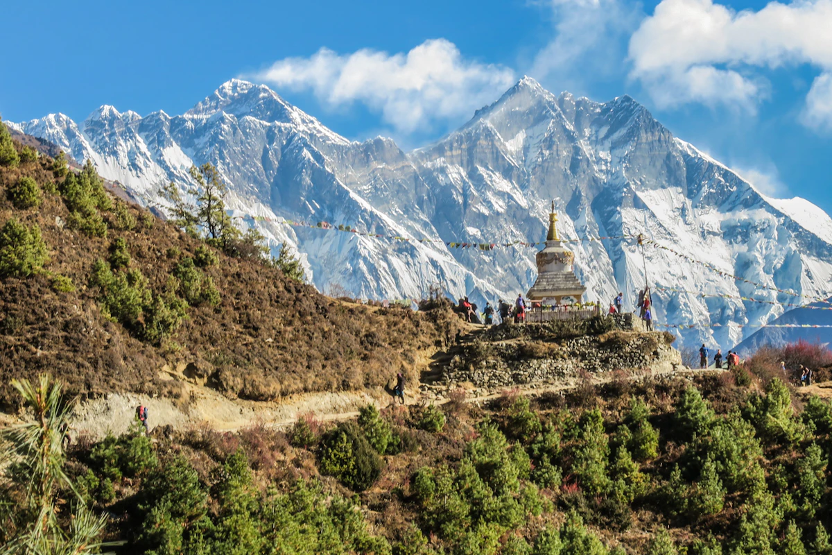

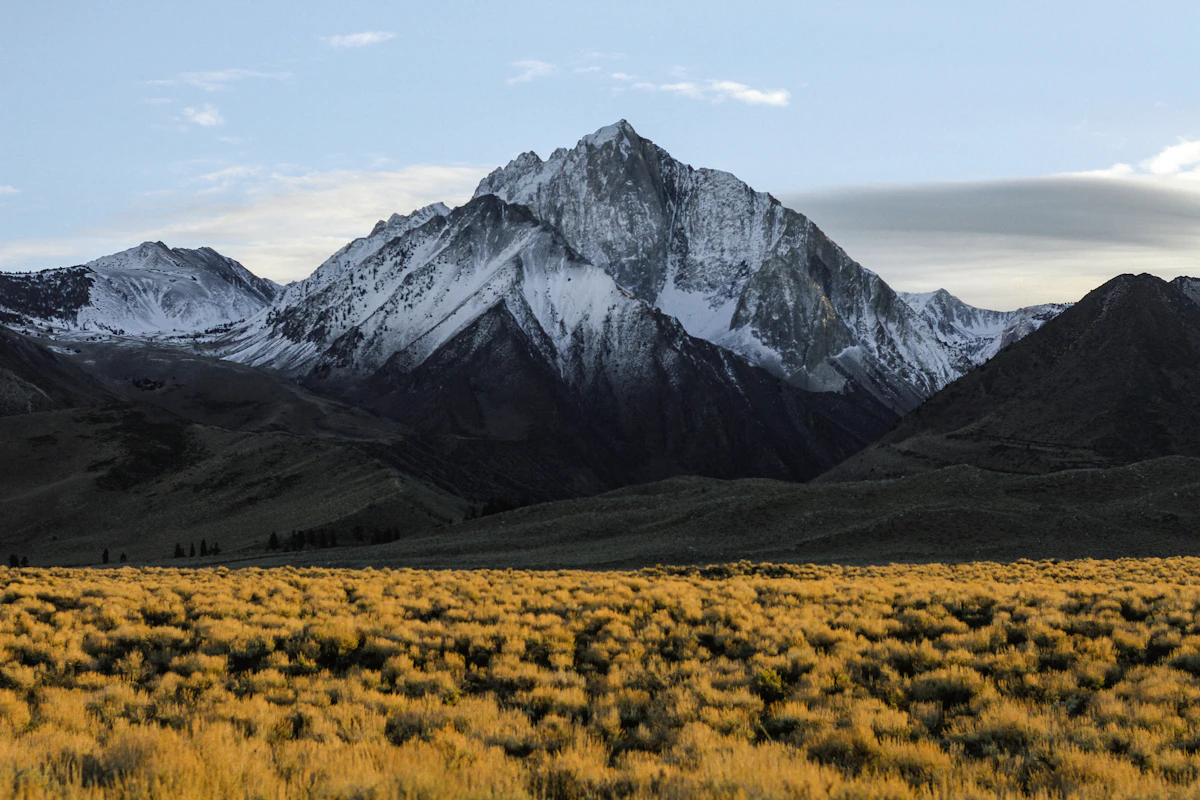
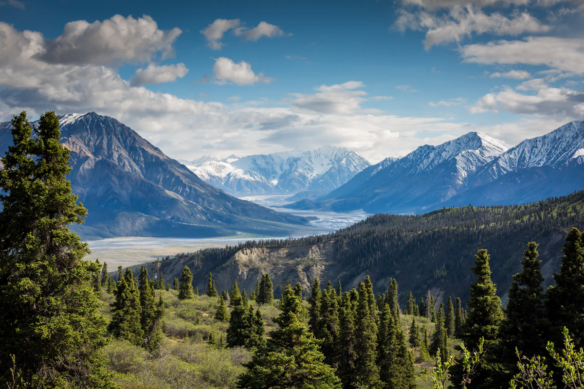

Poon Hill Trek (Ghorepani-Poon Hill 5 Days) Trail Map
Interactive OpenStreetMap topographic trail map tracing the route.
Key High-Altitude Stops
Compatible with Garmin, Apple Watch, Strava & Gaia GPS
Poon Hill Trek (Ghorepani-Poon Hill 5 Days) Weather Center
Real-time mountain weather and 5-day altitude forecasts across key Poon Hill Trek (Ghorepani-Poon Hill 5 Days) waypoints.
Loading weather for ...
Choose waypoint
Altitude Chart & Acclimatization Nodes
Strict adherence to "Hike High, Sleep Low" ensures safe high-altitude adaptation.
Complete Itinerary Route
Explore the detailed day-by-day routing, acclimatization schedule, and trek milestones.
Pokhara to Nayapul (1,070m), trek to Ulleri (1,960m)
HighlightDrive 1.5 hours from Pokhara to Nayapul along the Modi Khola. Cross the suspension bridge at Birethanti, enter the Annapurna Conservation Area checkpoint, then climb steady stone stairs through rhododendron forest past Tikhedhunga to Ulleri. The Magar village sits on a ridge with Annapurna South visible above the tree line.
Ulleri (1,960m) to Ghorepani (2,860m)
HighlightLeave Ulleri before 7 AM. The trail ascends through oak and rhododendron forest past Banthanti and Nangethanti. Stone steps give way to dirt track near Deurali Pass (3,100m), then descend slightly into Ghorepani. Clear days reveal Dhaulagiri and Annapurna I from the village ridge. Book a room early — lodges fill fast in peak season.
Ghorepani to Poon Hill (3,210m) sunrise, descend to Tadapani (2,630m)
HighlightStart at 4:30 AM for the 45-minute steep climb to Poon Hill. First light hits Dhaulagiri, Annapurna I, Machhapuchhre, and Hiunchuli across a 180-degree arc. Descend through rhododendron tunnel to Ghorepani for breakfast, then continue down through mossy forest to Tadapani. Afternoon clouds often obscure the peaks — morning views are the reward.
Tadapani (2,630m) to Ghandruk (1,940m)
HighlightDescend steep stone stairs through dense forest to the Kimche River, cross a suspension bridge, then climb gradually to Ghandruk. The Gurung village spreads across a south-facing slope with direct views of Annapurna South and Machhapuchhre. Visit the Gurung Cultural Museum and the old monastery. Hot showers and reliable Wi-Fi available at most lodges here.
Ghandruk (1,940m) to Nayapul (1,070m), drive to Pokhara
Final descent on wide stone steps through terraced fields to Syauli Bazaar, then flat riverside trail to Nayapul. The Modi Khola runs high in spring melt. Private jeep or shared bus waits at the Nayapul parking area for the return to Pokhara. Arrive by early afternoon — time for a lakeside meal and a proper shower.
What's Covered & What's Not
A clear breakdown so you know exactly what to budget for and what's already taken care of.
Annapurna Conservation Area Permit (ACAP)
- Mandatory entry permit for entering the Annapurna region.
TIMS Card / Local Municipality Fee
- Local government registration fee required for trail tracking in the Annapurna foothills.
Road Transportation
- Shared local bus or private jeep ride from Pokhara to Nayapul trailhead.
Teahouse Lodging
- Basic twin-share room accommodation at villages along the route.
International Flights & Visas
- Flights to Kathmandu and on-arrival tourist visa fees.
Emergency Evacuation Insurance
- Mandatory medical insurance covering high-altitude helicopter rescue.
Guide and Porter Wages
- Daily service fees and tips for hired local guides or porters.
Personal Trail Expenses
- Hot water, device charging, Wi-Fi access, and bottled beverages.
Trail Meals & Hydration Rules
What to eat for stamina and altitude safety
Dhal Bhat
Steamed rice, lentil soup, vegetable curry, and pickle. Free refills at most lodges make this the best calorie value on the mountain.
Garlic Soup
Thin clear broth brewed with local garlic cloves. Consumed widely by trekkers to help with throat comfort and acclimatization.
Boiled Potatoes
Simple starchy carbohydrates served warm with salt or local chili paste, providing steady energy for steep stone steps.
Tibetan Bread
Deep-fried flatbread served with honey, jam, or peanut butter for high-calorie morning fuel before departure.
Noodle Soup (Thukpa)
Hot broth with wheat noodles and mixed vegetables. Provides fast hydration and warmth on cold evenings.
Fried or Boiled Eggs
Readily available protein source cooked to order at lodge kitchens along the trail.
Boiled Lodge Water
Purchase boiled water by the liter from teahouse kitchens; store a filled metal bottle inside your sleeping bag at night.
Ginger Lemon Tea
Hot brewed tea that helps soothe dry throats caused by dusty trails and cold mountain air.
Electrolyte Powders
Mix oral rehydration salts into filtered water to replace essential minerals lost during sustained uphill climbing.
Purification Tablets
Chlorine dioxide or iodine tablets for treating tap or stream water; allow a full 30-minute contact time before drinking.
Vegetarian Choices
Vegetarian meals are prepared fresh daily using local produce and are the safest option on multi-day routes.
Gluten-Free Options
Rice-based dishes, boiled potatoes, and lentil soups provide reliable gluten-free energy.
Black Tea
Order black tea ('kalo chiya') to avoid powdered milk if you are lactose sensitive.
Custom Orders
Kitchen staff can adjust spice levels or prepare plain rice if your stomach requires bland food.
Meat Dishes
Meat carried up by porters without refrigeration spoils easily. Skip animal protein on multi-day treks to prevent foodborne illness.
Alcohol
Beer and spirits accelerate dehydration and impair physical coordination on uneven terrain.
Untreated Tap Water
Never drink straight from village taps, springs, or streams without boiling or chemical treatment.
Raw Vegetables
Avoid uncooked salads and unpeeled fruits washed in unverified water sources.
Trip Preparation & Rules
Paperwork, permit requirements, and cash guidelines
Passport & Tourist Visa
Passport valid for at least six months beyond your arrival date. Obtain a 30-day tourist visa on arrival at Tribhuvan International Airport in Kathmandu, payable in foreign cash.
Emergency Evacuation Insurance
Verify that your insurance policy explicitly covers emergency helicopter evacuation up to 3,500 meters without requiring upfront payment from you.
Passport Photographs
Carry four physical passport-sized photographs. They are required for local conservation area entry records and SIM card registration in Kathmandu or Pokhara.
Copies of Important Documents
Keep digital backups of your passport photo page, visa stamp, insurance policy, and emergency contacts stored securely offline on your phone.
Annapurna Conservation Area Permit (ACAP)
Mandatory for all trekkers entering the Annapurna region. Obtain this in Kathmandu at the Nepal Tourism Board office or in Pokhara before heading to Nayapul.
TIMS Card Replacement / Registration
Register your trek details through authorized agencies or check-posts. The Trekkers' Information Management System record is checked at multiple checkpoints along the trail.
Local Rural Municipality Fee
Pay the local governance fee applicable to the Annapurna Rural Municipality directly at the designated trail entry checkpoint.
Road Travel Alternative
Flights do not apply to this route. Transport from Pokhara to Nayapul is entirely by road via local taxi, shared jeep, or private bus.
Vehicle Luggage Practicalities
Keep your daypack accessible for rain gear, water, and valuables while your main duffel bag travels in the back of the jeep.
Road Condition Buffer
Build extra buffer time into your travel schedule to account for potential road repairs or seasonal monsoon delays along the Pokhara-Baglung highway.
Nepalese Rupee Cash Requirement
Carry sufficient physical Nepalese Rupees for all daily expenses. ATMs are non-existent above Nayapul and Birethanti.
Small Denominations
Keep a steady supply of 100, 500, and 1,000 rupee notes. Teahouse operators frequently cannot provide change for large 5,000 rupee notes.
Extra Cash for Trail Extras
Budget an additional Rs 1,000 to 2,000 per day to cover device charging fees, hot showers, Wi-Fi tokens, and bottled or boiled drinking water.
Pokhara ATM Withdrawals
Withdraw your total estimated trip cash while still in Pokhara or Kathmandu. Power outages and network failures frequently disable ATMs in smaller foothill towns.
Trail Customs & Rules
Practical rules for passing animals, stupas, and village paths
Pass Stupas Clockwise
- •Always keep Mani walls and chortens on your right side.
- •Spin prayer wheels in a clockwise direction.
- •Never sit on inscribed prayer stones or monastery walls.
Pack Animal Right-of-Way
- •Step toward the mountain wall side when mule or dzo caravans pass.
- •Never stand on the outer cliff edge during caravan crossings.
- •Give working animals ample room on narrow stone staircases.
Photography Protocols
- •Always ask for permission before photographing local residents or elders.
- •Avoid flash photography inside dark prayer halls and monasteries.
- •Leave a small cash donation in the box when visiting active gompas.
Waste Management
- •Pack out all non-biodegradable wrappers and personal trash.
- •Never burn plastic waste in teahouse stoves or open fires.
- •Avoid single-use plastic bottles by using water purification tablets.
Village & Lodging Manners
- •Remove muddy boots before stepping inside teahouse dining halls.
- •Keep voice levels low in shared sleeping quarters after 9 PM.
- •Support your lodge by purchasing dinner and breakfast where you sleep.
Cultural Respect
- •Dress modestly in Gurung and Magar villages by covering shoulders and knees.
- •Remove hats and sunglasses before entering sacred shrines.
- •Greet locals with a respectful 'Namaste' using palms pressed together.
Permits & Emergency Directory
Current permit fee structures and official emergency contacts for the Ghorepani Poon Hill route
Required Permits & Mandatory Fees
-
📜Annapurna Conservation Area Permit (ACAP) NPR 3,000
Required for all trekkers entering the Annapurna region. Available at the Nepal Tourism Board in Kathmandu or Pokhara.
-
📜TIMS Card (Trekkers' Information Management System) NPR 2,000
Mandatory registration card for independent trekkers, issued through NTB authorized offices.
-
☘️Rural Municipality Entry Fee NPR 1,000
Local development fee collected directly by the Annapurna Rural Municipality checkpoint along the trail.
Nepal Tourism Directory
Official contact channels for permits, park regulations, and emergency rescue assistance.
Power, Connectivity & Showers
Realistic day-to-day guide for charging, phones, and hygiene on the Poon Hill route
Device Charging
Charging electronic devices in teahouses costs between Rs 200 to 500 per device, as electricity is predominantly solar-generated. Carry a high-capacity power bank and keep it inside your sleeping bag at night to preserve battery life in cold temperatures.
Mobile SIM & Data
Nepal Telecom (NTC) and Ncell signals remain reasonably strong across Tikhedhunga and Ghorepani, though coverage drops in forested ravines. Local 4G data packages work better than paid teahouse Wi-Fi cards in most valley sectors.
Hot Showers
Hot showers powered by gas or solar heating are available in lower villages like Ulleri and Ghorepani for Rs 300 to 500. Water pressure varies, and temperatures drop sharply once the sun sets behind the ridges.
Drinking Water
Single-use plastic bottles are discouraged and restricted in parts of the Annapurna Conservation Area. Fill your bottles with boiled water from teahouses or use purification tablets in tap water to reduce costs and plastic waste.
Altitude Safety & Health
How to handle altitude symptoms and emergency protocols
Daily Symptom Monitoring
Watch closely for early acute mountain sickness signs: throbbing headaches that standard painkillers do not touch, loss of appetite, persistent nausea, and dizziness.
Hydration Strategy
Count hot lemon, black tea, and garlic soup toward daily hydration goals alongside treated water. Dehydration accelerates altitude symptoms quickly.
Evacuation Insurance
Ensure your insurance policy explicitly covers emergency helicopter rescue up to 4,000 meters, as the summit ridge sits at 3,210 meters.
Immediate Descent Protocol
Dropping 300 to 500 meters down toward Tikhedhungga or Ulleri reverses moderate altitude symptoms fast and saves lives.
The Golden Altitude Rule
If a throbbing headache, loss of appetite, or dizziness persists into the evening, do not push higher toward the ridge. If symptoms worsen after resting, descend immediately. Descent is the only guaranteed cure for altitude sickness.
Gurung Villages & Mountain Heritage
Indigenous hill communities, terraced hillsides, and mountain ecology along the route
Gurung Architecture
Traditional slate-roofed stone houses with intricately carved wooden verandas built along sloping ridge terraces.
Hill Agriculture
Steep terraced fields cultivated by hand, growing millet, maize, potatoes, and winter wheat across changing elevations.
Teahouse Culture
Family-run lodges centered around wood-burning stoves where meals are prepared using locally sourced produce.
Buddhist Monasteries & Mani Stones
Stone walls carved with Tibetan mantras and fluttering prayer flags lining ridge paths and village entryways.
Sacred Peaks
Massifs such as Annapurna South and Machhapuchhre revered by local hill communities as living spiritual guardians.
Village Shrines
Small roadside chortens and prayer wheels rotated by travellers as a gesture of safe passage.
Rhododendron Forests
Sub-alpine woodlands bursting into vibrant red and pink blossoms during spring across the mid-elevation hills.
Alpine Birds of Prey
Eagles, hawks, and Himalayan griffons circling above valley ridges on thermal air currents.
Mid-Hill Fauna
Forest-dwelling langur monkeys, barking deer, and native bird species inhabiting the dense lower slopes.
Essential Packing Checklist
Prepare 1 duffel bag (handled by porter team) and 1 daypack for personal warm layers & water.
Frequently Asked Questions
Practical details for the Ghorepani Poon Hill route