

Manaslu Circuit Trek (14-19 Days) 19 Days Guide
Trail notes for Manaslu Circuit Trek (14-19 Days). Daily walking hours, pass elevations, teahouse stops, and permit logistics.
Manaslu Circuit Trek
19-day route around the Eighth Highest Mountain in the world, crossing the challenging Larkya La Pass at 5,106 meters.
Key Trail Realities on the Manaslu Circuit
What to expect along the restricted border valleys and high alpine terrain
Buri Gandaki Gorge Crossings
Traverse narrow cliffside stone staircases and high suspension bridges spanning the turbulent Buri Gandaki river corridor as the valley narrows sharply toward the Tibetan border.
Larkya La Pass Crossing
Ascend to the 5,106-meter high point of the route during pre-dawn hours, navigating steep moraine ridges and icy scree under sub-zero morning temperatures before dropping toward the Marsyangdi valley.
Restricted Border Area Permits
Access the controlled northern frontier through mandatory Special Restricted Area permits, requiring a licensed guide and a minimum group size of two trekkers verified at checkpoint stations.
Nupri Valley Tibetan Culture
Pass through remote stone villages like Samagaon and Samdo where inhabitants practice traditional Tibetan Buddhism, maintain ancient trade routes, and tend herds of yaks on high pastures.
Birendra Lake Side Trip
Hike from Samagaon to the emerald glacial lake fed directly by the Manaslu glacier, serving as a key altitude adjustment walk before pushing higher toward the base camp approaches.
Pung Gyan Gompa Detour
Explore the historic mountainside monastery nestled beneath the east face of Mount Manaslu, offering open views of massive hanging ice walls and historical avalanche paths.
Teahouse Infrastructure Realities
Sleep in basic stone and timber lodges where dining rooms are heated by central yak-dung or wood-burning stoves, while electricity and hot water rely on solar panels or gas canisters.
Roadhead and Transport Logistics
Begin the journey via local 4WD jeep transport from Machha Khola following road construction extensions up the lower valley, replacing older lower-altitude walking trails with unpaved tracks.
Trail Photos & Videos
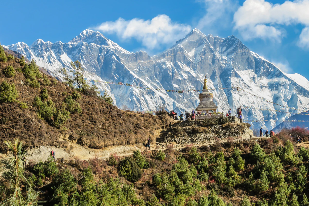
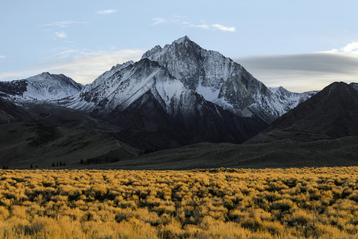
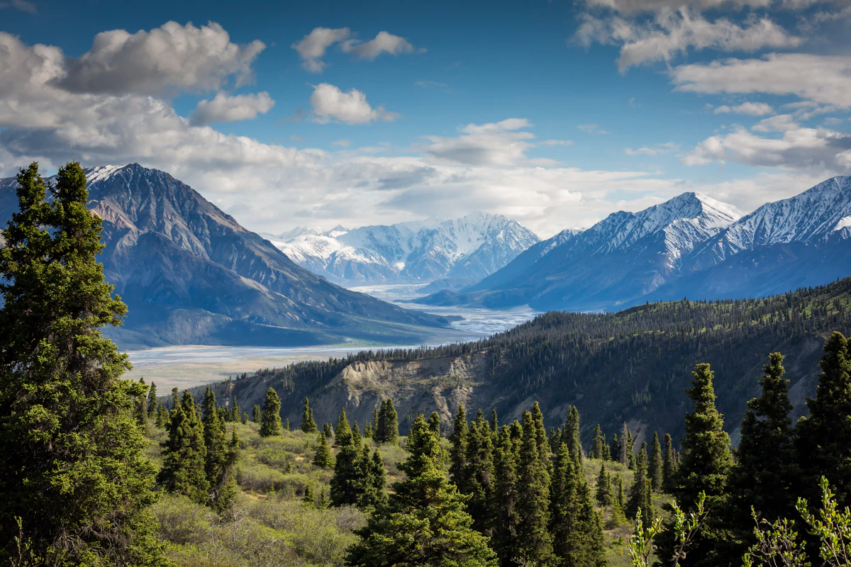
High-definition captures and video clips from Himalayan passes, glacial lakes, Sherpa villages, and mountain summits.


Manaslu Circuit Trek (14-19 Days) Trail Map
Interactive OpenStreetMap topographic trail map tracing the route.
Key High-Altitude Stops
Compatible with Garmin, Apple Watch, Strava & Gaia GPS
Manaslu Circuit Trek (14-19 Days) Weather Center
Real-time mountain weather and 5-day altitude forecasts across key Manaslu Circuit Trek (14-19 Days) waypoints.
Loading weather for ...
Choose waypoint
Altitude Chart & Acclimatization Nodes
Strict adherence to "Hike High, Sleep Low" ensures safe high-altitude adaptation.
Complete Itinerary Route
Explore the detailed day-by-day routing, acclimatization schedule, and trek milestones.
Kathmandu to Soti Khola
You leave Kathmandu by local jeep or bus on a long, bumpy road journey heading west toward Dhading and Machha Khola. The terrain transitions from paved highway to rough dirt tracks winding above the Budhi Gandaki River. Expect heavy dust and traffic vibrations during the ride. Plan to secure your restricted area permits in advance before departure.
Soti Khola to Machha Khola
HighlightThe trek begins on rocky trails climbing past terraced fields and cascading waterfalls tumbling into the gorge. You will cross suspension bridges over rushing tributaries while navigating steep stone staircases. The path can be slippery and muddy near water sources. Teahouses here offer basic dal bhat meals and simple twin rooms.
Machha Khola to Jagat
HighlightYou walk past the hot springs at Tatopani and cross a large suspension bridge to reach the Gurung village of Philim. The trail involves steep ascents over rocky ridges alongside the narrowing river canyon. Your permits will be checked at the checkpoint in Jagat. Nights at this altitude remain mild, though rooms are uninsulated.
Jagat to Deng
HighlightThe route enters a dense pine forest past bamboo groves and narrow cliffside paths carved into the rock. You cross the Budhi Gandaki multiple times on sturdy suspension bridges with deep drops below. Altitude starts to make steady climbs feel more taxing on your lungs. Nights grow noticeably colder, requiring a warm sleeping bag.
Deng to Namrung
AcclimatizationYou climb through alpine forests and pass carved mani stones marking the entry into Buddhist-dominated upper valleys. The trail features steep stone steps ascending toward Ghap with views of towering snow peaks. Air temperatures drop sharply by late afternoon as you gain elevation. Teahouses serve garlic soup, which helps with early acclimatization.
Namrung to Lho
HighlightThe trail winds past barley fields and traditional stone houses decorated with prayer flags in Lho village. You get your first clear close-up views of Mount Manaslu dominating the skyline. Wind picks up in the afternoon, bringing cold gusts down from the peaks. Ensure you drink plenty of boiled water to avoid dehydration.
Lho to Sama Gaon
HighlightA shorter walking day allows your body to adjust to the increasing altitude as you approach Sama Gaon. You pass the large Ribung Gompa perched on a moraine wall above the valley floor. The wide valley exposes you to strong midday sun and chilly mountain drafts. Dust on the dry trails can irritate your throat during the march.
Acclimatization Day in Sama Gaon
AcclimatizationTake a side hike toward Birendra Lake or Manaslu Base Camp to help your body adapt to thinner air. The steep trail loose scree requires careful footing and trekking poles for balance. Return to Sama Gaon by early afternoon to rest and hydrate properly. Nights here are freezing, and dining room stoves provide the only warmth.
Sama Gaon to Samdo
The trail ascends slowly through sparse scrubland alongside ancient mani walls and yak pastures toward the Tibetan border. Cold winds sweep across the high plateau, making layers essential even during midday walks. Samdo is a Tibetan refugee settlement with basic stone lodges and limited amenities. Sleep quality may drop due to the higher elevation.
Acclimatization Day in Samdo
AcclimatizationClimb the ridge behind Samdo toward the Tibetan trade route for a high-altitude day hike. The steep climb tests your stamina as oxygen levels continue to decrease significantly. Descend back to Samdo for lunch and spend the afternoon resting indoors out of the wind. Proper hydration remains critical to prevent altitude headaches.
Samdo to Dharamsala (Larkya Phedi)
HighlightThe short walk climbs steadily past the ruined Lajyang Bazaar through barren alpine terrain toward the base camp shelter. Dharamsala consists of basic stone huts with crowded dormitory-style sleeping arrangements. Frigid temperatures and wind dominate the afternoon and evening hours. Eat an early dinner and prepare your gear for tomorrow's pre-dawn pass crossing.
Dharamsala to Larkya La Pass to Bimtang
HighlightStart before dawn in freezing darkness to climb the steep, icy moraine trail to Larkya La Pass. The descent from the pass is extremely steep, long, and covered in loose gravel and ice. Walking poles and microspikes are essential safety gear for this demanding section. You arrive in Bimtang exhausted after a very long day on your feet.
Bimtang to Tilije
The trail descends rapidly through pine forests and rhododendron bushes alongside raging glacial rivers. You lose altitude quickly, which instantly makes breathing easier and temperatures much milder. The path can be rocky and root-strewn, requiring careful steps as your knees absorb the downhill impact. Teahouses in Tilije offer hot showers and varied menu options.
Tilije to Dharapani
A short walk brings you down to Dharapani where the Manaslu Circuit officially joins the Annapurna Circuit route. You will notice an increase in trekker traffic, jeep tracks, and larger lodge facilities here. Permit checkpoints operate in this village to record your exit from the restricted area. Enjoy easier walking conditions along wider dirt roads.
Dharapani to Jagat (Annapurna side)
HighlightThe route follows the Marshyangdi River downstream past terraced farms, waterfalls, and suspension bridges. Jeeps share the dirt road with trekkers, kicking up dust during the afternoon hours. The lower elevation brings back warm weather and lush green hillsides. Teahouses provide comfortable rooms and reliable Wi-Fi connections.
Jagat to Chamje
HighlightYou continue descending along the river canyon past cascading waterfalls and boulder-strewn paths. The walking is relatively gentle compared to the high mountain passes days earlier. Local village life hums along the trail with children and livestock sharing the route. Evening brings a relaxed atmosphere in the riverside lodge.
Chamje to Besisahar
The final walking stretch follows the road as the valley broadens out toward lower agricultural settlements. Traffic increases significantly as you near Besisahar, signaling the end of the trekking portion. You can celebrate completing the circuit with your guides at a local teahouse. Rest well before the return vehicle journey.
Besisahar to Kathmandu
Board a local bus or private jeep for the long, bumpy road journey back to Kathmandu. Traffic congestion and road conditions on the highway can extend travel times considerably. Arrive in the city by late afternoon and check into your hotel. Enjoy a hot shower and a proper celebratory dinner.
Departure from Kathmandu
HighlightPack your gear and check out of your Kathmandu hotel in time for your flight. Transfer to Tribhuvan International Airport via taxi or pre-arranged transport. Reflect on the remote mountain trails and high passes completed during your trek.
What's Covered & What's Not
A clear breakdown so you know exactly what to budget for and what's already taken care of.
Restricted Area Permit (RAP)
- Mandatory Nupri restricted area permit for the Manaslu Conservation Area (MCAP) and Annapurna Conservation Area Project (ACAP).
Trail Transport
- Local four-wheel-drive jeep transfer from Kathmandu to Soti Khola or Machha Khola.
Teahouse Accommodation
- Basic lodge sleeping space along the northern circuit route.
Licensed Guide Services
- Required government-certified guide and porter services for restricted border zones.
International Flights
- Airfare from your origin country to Tribhuvan International Airport in Kathmandu.
Nepal Tourist Visa
- Visa on arrival fees payable at Kathmandu airport ($30 to $125 USD depending on duration).
Emergency Evacuation Insurance
- Mandatory travel policy covering high-altitude helicopter rescue up to 5,500m.
On-Trail Extras
- Hot shower fees, battery charging sockets, Wi-Fi tokens, and bottled or filtered drinking water.
Trail Meals & Hydration Rules
What to eat for stamina and altitude safety
Dhal Bhat Power
Rice, lentil soup, spiced potato, and seasonal greens. Always ask for free second helpings to refuel after long trekking hours.
Garlic Soup
Thin clear broth loaded with local garlic cloves. Consumed widely by mountain travelers to support circulation in thin air.
Boiled & Fried Potatoes
Starch-heavy energy source available in every teahouse, often served with local chili paste.
Tibetan Bread with Honey
Deep-fried flatbread that provides heavy calories for cold mornings.
Noodle Soups
Hot broth with noodles and vegetables that warms you up quickly at high altitudes.
Boiled Eggs
Simple, reliable protein source available at breakfast across most lodges.
Boiled Water Refills
Purchase boiled water from teahouses and keep your Nalgene bottle inside your sleeping bag at night to prevent freezing.
Ginger Lemon Honey Tea
Soothing hot drink that helps counter the dry mountain air and throat irritation.
Electrolyte Tablets
Mix electrolyte powders into your water bottles to replenish salts lost during steep climbs.
Purification Drops
Carry chlorine dioxide or iodine tablets as a backup when treated water is unavailable.
Vegetarian Preference
Vegetarian options are the safest dietary choice on the trail as produce is consumed quickly.
Gluten-Free Basics
Rice and potato dishes offer straightforward gluten-free sustenance.
Black Tea Options
Order black tea ('kalo chiya') if you have dairy sensitivities, as most lodges use powdered milk.
Early Kitchen Orders
Place your dinner order early in the afternoon so lodge operators can manage supplies.
Meat Above 3,500 Meters
Meat carried up on foot without refrigeration poses food safety risks in upper villages.
Alcohol at High Altitudes
Avoid alcohol until you return to lower elevations; it accelerates dehydration and impairs acclimatization.
Untreated Tap Water
Never drink straight from taps or streams without proper boiling or chemical treatment.
Raw Vegetables
Skip uncooked salads and unpeeled fruit to prevent digestive issues.
Trip Preparation & Rules
Paperwork, transport logistics, and cash guidelines
Passport & Tourist Visa
Ensure your passport is valid for at least six months beyond arrival. Purchase a 30-day tourist visa using cash at Tribhuvan International Airport.
High-Altitude Rescue Insurance
Verify that your insurance policy explicitly covers emergency helicopter evacuation up to 6,000 meters. Keep a printed copy of your policy and emergency contact numbers in your daypack.
Passport-Sized Photographs
Carry four physical passport-sized photos for restricted area permits, conservation area paperwork, and local SIM card registration.
Manaslu Conservation Area Permit
Required for entering the protected zone. Procured through a registered trekking agency in Kathmandu before departure.
Manaslu Restricted Area Permit
Mandatory for crossing restricted border regions in the upper valley. Issued for a minimum duration with strict entry and exit checkpoints.
Annapurna Conservation Area Permit
Required during the final descent phase as the route exits the conservation zone through Dharapani toward Besisahar.
Road Transfer Logistics
Unlike regions serviced by mountain flights, the approach to Soti Khola involves an overland drive from Kathmandu along dirt roads via Arughat.
Gear Bag Management
Pack gear into a durable waterproof duffel bag suitable for porter transport or roof-rack vehicle transit during the initial rough road journey.
Departure Timing
Overland transport departs early from Kathmandu to avoid heavy traffic bottlenecks leaving the valley and to account for road conditions.
Sufficient Nepalese Rupees
Carry enough physical cash in local currency for the entire route. ATMs are absent beyond the early roadhead settlements.
Small Denominations
Keep a supply of smaller banknotes (Rs 100, Rs 500) for tea, bottled water, hot showers, and device charging in remote teahouses.
ATM Limitations
Do not rely on card payment machines or ATMs on the trail; internet connectivity issues frequently disable electronic transactions.
Trail Customs & Rules
Practical rules for passing animals, stupas, and village paths
Pass Stupas Clockwise
- •Always keep Mani stones and chortens on your right side.
- •Spin prayer wheels clockwise.
- •Never sit on inscribed prayer stones.
Pack Animal Right-of-Way
- •Stand on the mountain wall side when mule trains pass.
- •Never stand near the cliff edge as pack animals push through.
- •Give caravans adequate space and wait for the dust to clear.
Photo Etiquette
- •Ask permission before photographing local residents or elders.
- •Do not use flash inside monastery prayer rooms.
- •Drop a small coin in the donation box if entering gompas.
Waste & Water Ethics
- •Pack all plastic snack wrappers and non-biodegradable waste out.
- •Never burn plastic or throw batteries into village fires.
- •Use purification drops instead of single-use plastic bottles.
Local Cultural Respect
- •Dress modestly in villages by covering shoulders and knees.
- •Remove footwear before entering homes and sacred gompas.
- •Greet locals with a calm Namaste.
Teahouse Conservation
- •Minimize water waste when taking bucket showers in upper lodges.
- •Respect quiet hours after 9:00 PM as families sleep early.
- •Pay for device charging upfront as electricity relies on solar.
Permits & Emergency Directory
Current permit fee structures and official emergency contacts for the Manaslu Circuit
Required Permits & Mandatory Fees
-
📜Manaslu Conservation Area Permit (MCAP) NPR 3,000
Mandatory entry permit for the Manaslu Conservation Area, obtained through registered trekking agencies in Kathmandu or Pokhara.
-
🛡️Manaslu Restricted Area Permit (RAP) $100 USD (First 7 days) + $15 USD/day after
Required for restricted zones between Jagat and Samagaon through Dharamsala; must be obtained via a government-registered trekking agency.
-
🛂Annapurna Conservation Area Permit (ACAP) NPR 3,000
Required upon descending past Dharapani as the Manaslu route merges into the Annapurna Conservation Area.
Nepal Tourism Directory
Official contact channels for permits, park regulations, and emergency rescue assistance.
Power, Connectivity & Showers
Realistic day-to-day guide for charging, phones, and hygiene
Device Charging
Electricity in lower villages comes from micro-hydro, shifting to solar panels higher up. Lodges charge between Rs 300 to Rs 600 per device or power bank in the communal dining hall.
Mobile Connectivity
Nepal Telecom (NTC) and Ncell signals reach most of the Budi Gandaki valley, though service drops out entirely near Samagaun and Larkya La. Local SIM cards work better than regional Wi-Fi networks, which are often slow and weather-dependent.
Hot Showers
Gas-heated or solar-heated showers cost between Rs 400 and Rs 700. Above 3,500 meters, cold night temperatures and freezing wind make wet showers a health risk; most trekkers switch to wet wipes and body cloths.
Water Access
Teahouse tap water is unsafe without treatment. Carry two wide-mouth Nalgene bottles and chemical purification tablets or a UV purifier to treat local stream water.
Altitude Safety & Health
How to handle altitude symptoms and emergency protocols
Daily Symptom Monitoring
Watch closely for early acute mountain sickness signs: a throbbing headache that ibuprofen fails to touch, persistent loss of appetite, nausea, and severe sleep disruption above 3,500 meters.
Helicopter Evacuation Insurance
Ensure your travel insurance policy explicitly covers emergency helicopter rescue up to 6,000 meters. The Larkya La pass crosses high-altitude terrain where rapid air evacuation is the only viable option for severe pulmonary or cerebral edema.
Hydration and Hot Fluids
Count hot lemon, ginger tea, black tea, and fresh garlic soup toward your daily 3-to-4 liter hydration goal. Dehydration at high elevations accelerates altitude sickness silently and rapidly.
Ataxia and Coordination
Test for ataxia—the loss of muscle coordination—by walking heel-to-toe in a straight line. Stumbling like someone who is intoxicated indicates dangerous neurological impairment requiring immediate descent.
The Golden Altitude Rule
If a throbbing headache, dizziness, or bubbling cough persists despite rest and hydration, do NOT ascend. If symptoms worsen overnight, dropping 500 to 1,000 meters in elevation reverses altitude sickness fast and saves lives.
Highland Villages & Wildlife
Indigenous communities and wildlife along the trail
Nubri and Tsum Communities
High-altitude Tibetan-origin villages featuring distinct flat-roofed stone architecture and ancient trade ties.
Traditional Hearth & Hospitality
Stone teahouses warmed by central stoves where travellers gather in the evening.
Hand-Woven Wool Craftsmanship
Hand-spun sheep and yak wool woven into warm blankets and winter wear by village families.
Ancient Monasteries & Gompas
Centuries-old Buddhist shrines like Pung Gyen and Ribum Gompa with sacred ritual significance.
Prayer Flags & Mani Walls
Stone walls carved with sacred Buddhist mantras lining paths approaching high settlements.
Sacred Mountain Peaks
Mount Manaslu and surrounding massifs revered locally as spiritual guardians and abodes of protective deities.
Snow Leopards & Blue Sheep
Rare alpine inhabitants roaming the upper rocky slopes of the Manaslu Conservation Area.
Rhododendron and Pine Forests
Lower gorge trails passing through dense sub-tropical forests giving way to alpine conifers.
Alpine Raptors
Golden eagles and lammergeiers soaring above high river gorges and glacial moraines.
Essential Packing Checklist
Prepare 1 duffel bag (handled by porter team) and 1 daypack for personal warm layers & water.
Frequently Asked Questions
Practical answers for planning the Manaslu Circuit Trek