
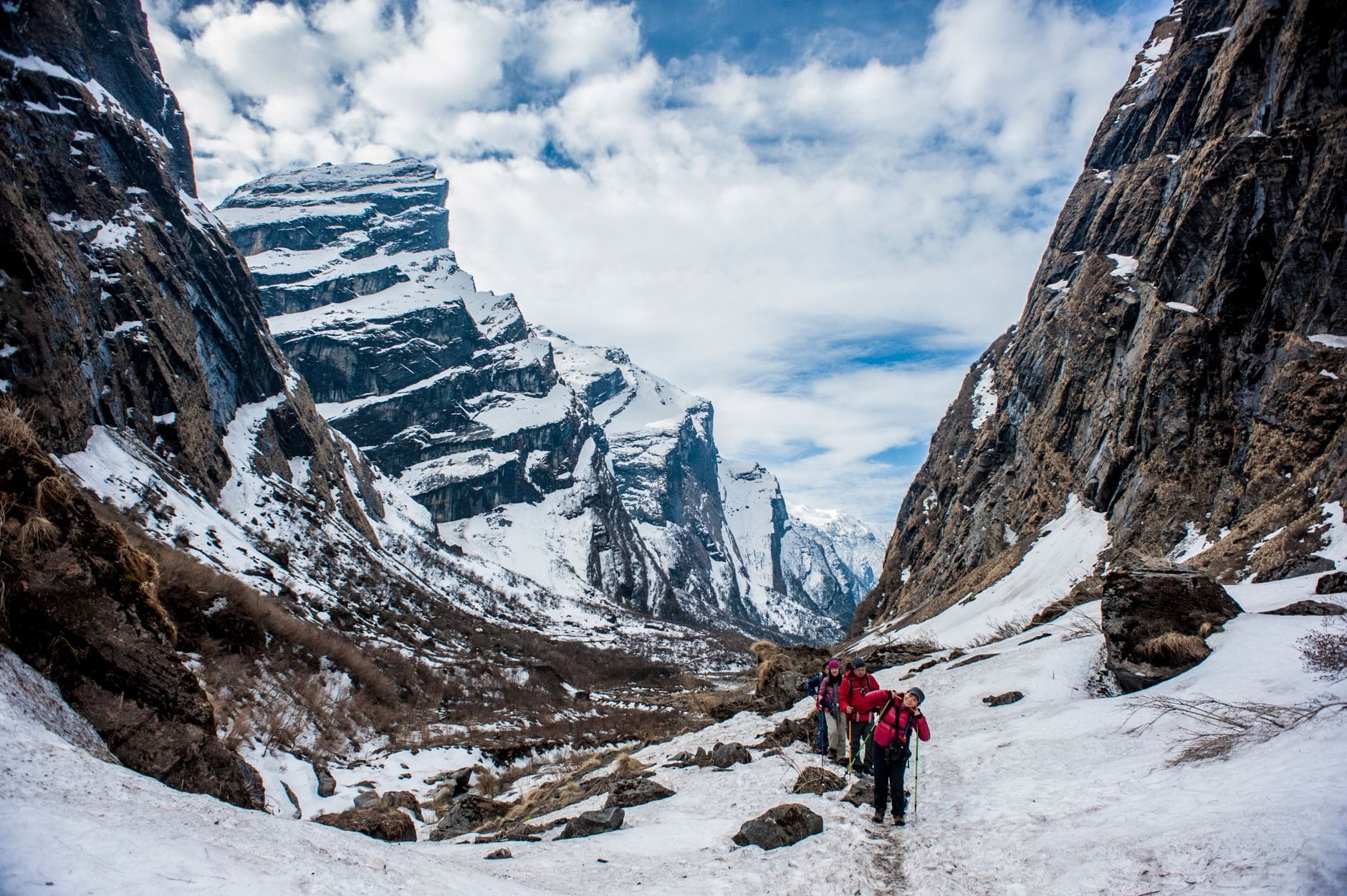
Tamang Heritage Trail Trek (7 Days) 7 Days Guide
Trail notes for Tamang Heritage Trail Trek. Daily walking hours, pass elevations, teahouse stops, and permit logistics.
Tamang Heritage Trail Trek
7-day route along the Tamang Heritage Trail. Daily climbs range from 400m to 900m on stone stairs and dirt tracks through ancient Tamang settlements.
Key Trail Realities
What to expect along the Tamang Heritage Trail
Tamang Cultural Heritage
Walk through traditional Tamang villages featuring stone-and-mud houses, intricate wooden carvings, and ancient Buddhist monasteries.
Natural Hot Springs at Tatopani
Soak in sulfurous natural hot spring pools tucked along the riverbank, offering muscle recovery after steep morning climbs.
Langtang Lirung Panoramas
View Langtang Lirung and surrounding peaks from elevated ridge viewpoints and open pasture clearings above Gatlang.
Traditional Stone Staircases
Navigate centuries-old hand-carved stone steps connecting terraced agricultural fields and pine forests across ridge slopes.
Highland Community Lodges
Stay in family-run community lodges featuring central wood-burning stoves and locally prepared dhal bhat.
Tibetan Border Proximity
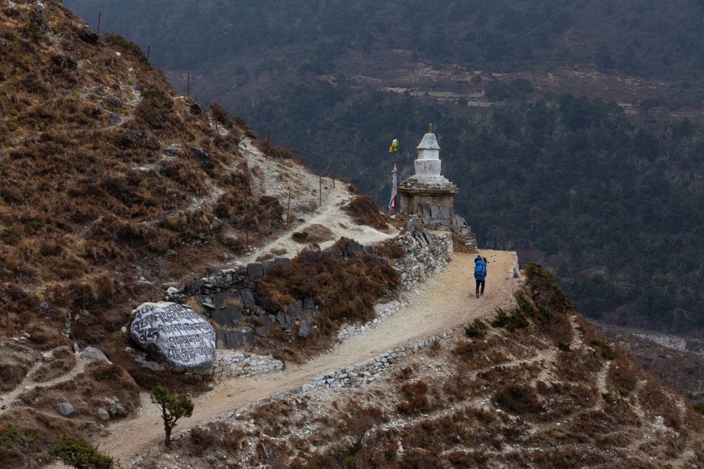
Observe traditional Tibetan-influenced architecture, mani walls, and prayer wheels situated close to the northern frontier.
Pine and Rhododendron Forests
Ascend through dense stands of rhododendron and pine forest that shelter Himalayan bird species and mountain wildlife.
Syabrubesi Road Approach
Begin the journey via the winding hillside highway connecting Kathmandu to the primary trailhead at Syabrubesi.
Trail Photos & Videos
High-definition captures and video clips from Himalayan passes, glacial lakes, Sherpa villages, and mountain summits.

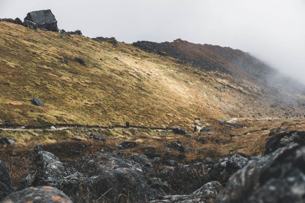
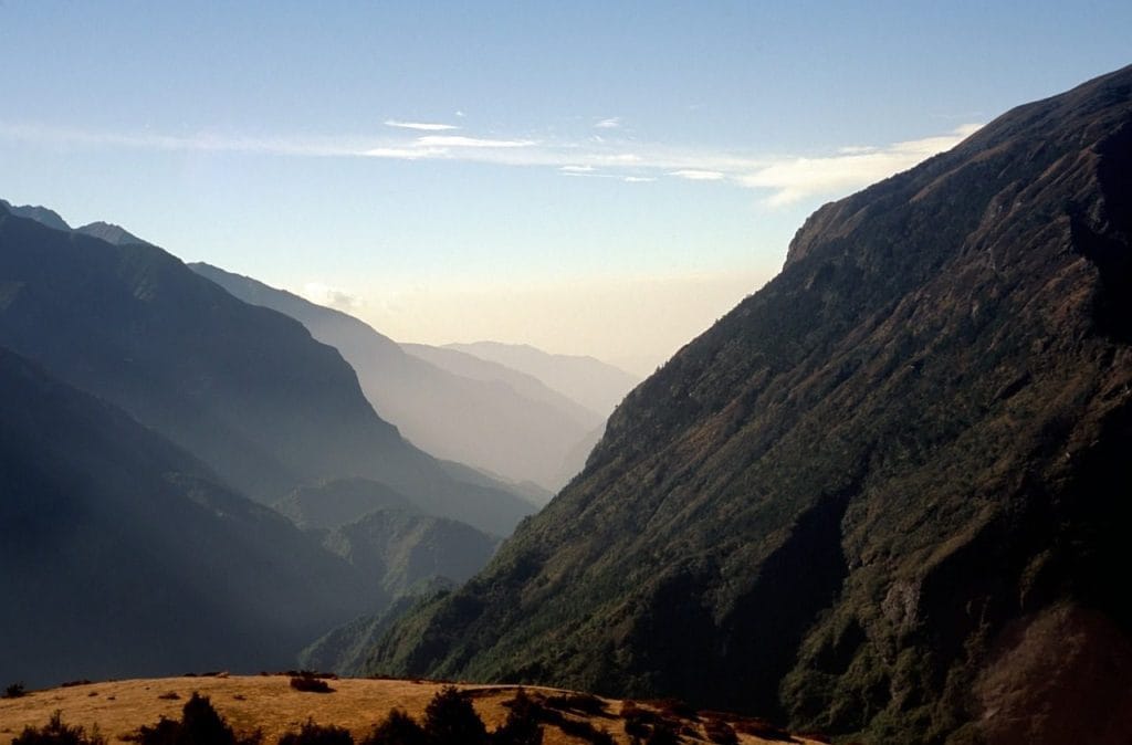
Tamang Heritage Trail Trek (7 Days) Trail Map
Interactive OpenStreetMap topographic trail map tracing the route.
Key High-Altitude Stops
Compatible with Garmin, Apple Watch, Strava & Gaia GPS
Tamang Heritage Trail Trek (7 Days) Weather Center
Real-time mountain weather and 5-day altitude forecasts across key Tamang Heritage Trail Trek (7 Days) waypoints.
Loading weather for ...
Choose waypoint
Altitude Chart & Acclimatization Nodes
Strict adherence to "Hike High, Sleep Low" ensures safe high-altitude adaptation.
Complete Itinerary Route
Explore the detailed day-by-day routing, acclimatization schedule, and trek milestones.
Syabrubesi to Gatlang (2,238m)
HighlightDepart Kathmandu early for the road journey north toward Syabrubesi, following winding valley highways past Trishuli bazaar before the trail crosses suspension bridges and climbs steadily upward through terraced hillsides and pine forests to reach the traditional Tamang settlement of Gatlang by late afternoon.
Gatlang to Tatopani (2,607m)
HighlightDescend past terraced fields toward the Chilime Khurung Khola, crossing a sturdy suspension bridge before tackling the sustained uphill grind through dense rhododendron woods and open ridge tracks that lead straight into Tatopani, famous for its natural hot sulfur springs.
Tatopani to Thuman (2,338m)
HighlightClimb through alpine scrub toward Brimdang, passing scattered yak pastures and prayer-wheel mani walls before reaching the high vantage point of Nagthali Danda at 3,165m, where the panoramic view stretches across Langtang Lirung and Ganesh Himal before descending to Thuman.
Thuman to Briddim (2,229m)
HighlightTraverse old trade routes along the Bhote Koshi river valley, passing historical border settlements and pine forests on a path that dips across rocky ravines before arriving at Briddim, a Tibetan-style cluster village built in a unique Z-shape layout.
Briddim to Lama Hotel (2,470m)
Merge with the classic Langtang valley trail after descending past Ghatte Khola, following the rushing waters of the Langtang Khola upstream beneath heavy canopy cover of oak and bamboo where langur monkeys frequently forage near the trail.
Lama Hotel to Syabrubesi (1,460m)
HighlightRetrace steps down the forested gorge past the waterfall at Ghora Tabela and cascading stream junctions, dropping rapidly through lower elevation farming hamlets until the trail levels out at the suspension bridge leading back into Syabrubesi.
Syabrubesi to Kathmandu (1,350m)
Board the morning local bus or private jeep for the rugged return overland journey south along the Trishuli River highway, navigating unpaved sections of the road before arriving back in Kathmandu by late afternoon.
What's Covered & What's Not
A clear breakdown so you know exactly what to budget for and what's already taken care of.
Required Trail Permits
- Langtang National Park entry permit and local rural municipality conservation fees.
Local Transport
- Shared local bus or private jeep transfer from Kathmandu to Syabrubesi trailhead.
Teahouse Accommodation
- Basic twin-share lodge room in settlements such as Gatlang, Tatopani, and Thuman.
Licensed Guide / Porter
- Required certified trekking guide and optional porter services for the route.
International Flights
- Airfare from your home country into Tribhuvan International Airport in Kathmandu.
Nepal Tourist Visa
- On-arrival tourist visa fee at Kathmandu airport ($30 USD for 15 days, $50 USD for 30 days).
Emergency Evacuation Insurance
- Mandatory travel policy covering emergency helicopter airlift and medical care.
Trail Incidentals
- Hot water showers, battery charging fees, bottled or boiled drinking water, and tips.
Trail Meals & Hydration Rules
What to eat for stamina and altitude safety
Dhal Bhat
Steamed rice, lentil soup, and vegetable curry with free refills available at most teahouses for steady energy.
Garlic Soup
Thin clear garlic broth consumed on high trails for throat comfort and hydration in dry mountain air.
Boiled & Fried Potatoes
Dense carbohydrate source served with local pickles or spices in high Tamang settlements.
Tibetan Bread
Deep-fried puffed flatbread served with honey or jam for a calorie-dense breakfast before morning walks.
Noodle Soup (Thukpa)
Hot broth with noodles and seasonal vegetables that warms up cold evenings in mountain lodges.
Eggs (Boiled or Omelette)
Simple protein source cooked fresh in the morning by lodge kitchen staff.
Boiled Teahouse Water
Request boiled water from lodge kitchens and fill two 1L Nalgene bottles for nightly sleeping bag warmth.
Ginger Lemon Honey Tea
Warm spiced tea that helps soothe dry throats caused by cold mountain winds.
Electrolyte Tablets
Dissolve mineral tablets in filtered water to prevent cramping on long stone stair ascents.
Chlorine or Aquatabs
Treat tap sources with purification tablets and wait the full thirty minutes before drinking.
Vegetarian Preference
Vegetarian dishes use ingredients restocked frequently from local valley markets.
Rice-Based Meals
Dal bhat and boiled potatoes provide reliable, naturally gluten-free carbohydrates.
Black Tea Options
Order black tea (kalo chiya) if you prefer to avoid powdered milk used in milk tea.
Advance Meal Ordering
Place dinner orders early in the afternoon so lodge owners can manage firewood and cooking time.
Meat Above Tree Line
Skip meat dishes in remote villages where portered animal protein lacks proper refrigeration.
Alcohol During Ascent
Avoid alcoholic drinks as they accelerate dehydration and mask early altitude symptoms.
Untreated Tap Water
Never drink directly from village standpipes or streams without purification.
Raw Unpeeled Produce
Skip raw salads or unwashed fruit to avoid gastrointestinal illness away from medical posts.
Trip Preparation & Rules
Paperwork, physical readiness, and cash guidelines
Passport & Tourist Visa
Ensure your passport is valid for at least six months beyond your arrival date. A 30-day tourist visa costs $50 USD and is available on arrival at Tribhuvan International Airport.
Emergency Evacuation Policy
Insurance policies must explicitly cover high-altitude rescue up to 4,000 meters. Keep paper copies of your policy and emergency contact numbers in an accessible pocket.
Passport-Sized Photographs
Carry four physical passport photos. Local administrative posts require them for permit verification and paperwork.
Physical Training Logs
Build endurance with stair climbing, weighted day-hikes, and cardiovascular training for three months prior to departure to handle consecutive days of ascents.
Langtang National Park Entry Permit
Required for entering the Langtang conservation zone. Obtained through the Nepal Tourism Board office in Kathmandu or at the trail entry checkpoint.
TIMS Card Replacement
Trekkers' Information Management System card is required for registration and monitoring across regional checkpoints.
Local Rural Municipality Fee
Direct municipal entry fee collected at regional trailheads to fund local infrastructure maintenance and waste management.
Road Transfer Logistics
This route typically begins via a 7 to 8-hour bus or private jeep ride from Kathmandu to Syabrubesi, following winding mountain highways.
Luggage Weight Limits for Jeeps
Keep duffel bags manageable for shared vehicle roof racks or porter transport. Pack heavy items at the bottom.
Road Delay Contingency
Monsoon rains and winter landslides can cause traffic delays along regional highways. Build two buffer days into your travel schedule.
Daily Cash Budget
Carry approximately 3,500 to 5,000 Nepalese Rupees per day in cash to cover meals, hot showers, and device charging.
ATM Availability
ATMs are unavailable once you leave Kathmandu and Dhunche. Do not rely on card payments in mountain teahouses.
Small Denominations
Exchange large notes in Kathmandu. Teahouse operators cannot easily break 1,000 Rupee notes for small purchases.
Trail Customs & Rules
Practical rules for passing animals, stupas, and village paths
Pass Stupas Clockwise
- •Always keep Mani stones and chortens on your right side.
- •Spin prayer wheels clockwise.
- •Never sit on inscribed prayer stones.
Pack Animal Right-of-Way
- •Stand on the mountain wall side when mules or horses pass.
- •Never stand near the cliff edge where a sudden nudge can happen.
- •Give animal caravans clearance on narrow stone staircases.
Photo Etiquette
- •Ask before taking photos of local villagers, elders, or working farmers.
- •Do not use flash inside monastery prayer rooms or around sacred shrines.
- •Leave a small offering in the donation box if you enter active monastic halls.
Trash & Water Ethics
- •Pack all plastic snack wrappers and personal trash back out to urban drop-off points.
- •Never throw batteries, wet wipes, or non-biodegradable items into local pit toilets.
- •Use purification tablets or local boiling stations rather than buying single-use plastic bottles.
Teahouse and Homestay Conduct
- •Remove muddy boots before stepping onto dining hall carpets.
- •Order breakfast the night before to help kitchen staff prepare early.
- •Keep voice levels moderate in shared dormitory sleeping quarters.
Cultural and Religious Respect
- •Dress modestly in villages by keeping shoulders and knees covered.
- •Remove hats and sunglasses before entering religious sites.
- •Respect local quiet hours once teahouse generators are turned off for the night.
Permits & Emergency Directory
Current permit fee structures and official emergency contacts
Required Permits & Mandatory Fees
-
📜Langtang National Park Entry Permit NPR 3,000
Required for all trekkers entering the Langtang conservation zone, payable at the Nepal Tourism Board in Kathmandu or at Dhunche checkpoint.
-
📜TIMS Card (Trekkers' Information Management System) NPR 2,000
Mandatory tracking card for independent trekkers, obtainable through registered agencies or the NTB office.
-
📜Rural Municipality Entry Fee NPR 2,000
Local development fee collected by the Pasang Lhamu or surrounding rural municipalities along the heritage trail corridor.
Nepal Tourism Directory
Official contact channels for permits, park regulations, and emergency rescue assistance.
Power, Connectivity & Showers
Realistic day-to-day guide for charging, phones, and hygiene
Device Charging
Electricity in Tamang Heritage Trail teahouses is predominantly solar-powered. Expect to pay between NPR 200 and 500 per full charge for phones or power banks in communal dining areas. A high-capacity 20,000mAh battery pack is essential to minimize reliance on lodge outlets.
Mobile SIM & Wi-Fi
Nepal Telecom (NTC) provides stronger cellular coverage across Rasuwa district compared to Ncell, with intermittent 4G signals in Syabrubeshi, Gatlang, and Tatopani. Higher ridge settlements experience signal dropouts. Paid Wi-Fi hotspot cards are available in select commercial lodges.
Hot Showers
Hot water is typically generated via gas geysers or wood-fired boilers in lower villages, costing between NPR 300 and 500 per shower. Above 3,000 meters, indoor temperatures drop sharply; heated showers become scarce, and unheated water risks cold exposure.
Drinking Water Infrastructure
Plastic mineral water bottles are restricted in certain conservation zones to reduce waste. Carry two wide-mouth water bottles and treat natural tap or stream water using chlorine dioxide tablets, iodine, or a portable UV purifier to avoid gastrointestinal illness.
Altitude Safety & Health
How to handle altitude symptoms and emergency protocols
Daily Symptom Monitoring
Watch closely for early AMS signs: persistent headache, loss of appetite, nausea, dizziness, and insomnia.
Helicopter Evacuation
In case of severe altitude sickness, guides coordinate emergency rescue helicopter extraction back down to Kathmandu medical facilities.
Emergency Communication
Mobile networks drop out across upper Langtang and Tamang ridges; carry a satellite communicator or verify that your guide maintains active device coverage.
Hydration Management
Drink hot lemon, black tea, and garlic soup throughout the day to support fluid intake and combat dry mountain air.
The Golden Altitude Rule
If you have a throbbing headache or dizziness that two ibuprofen don't touch, do NOT ascend. If symptoms worsen, dropping 500 to 1,000 meters reverses altitude illness fast and saves lives.
Highland Villages & Wildlife
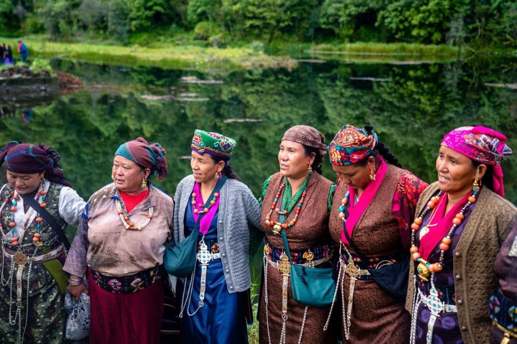
Indigenous communities and wildlife along the Tamang Heritage Trail
Tamang Architecture & Stone Masonry
Multi-tiered slate-roofed stone houses featuring intricately carved wooden windows and communal courtyards.
Traditional Highland Cuisine
Local staples featuring local potatoes, barley bread, dhindo, and fermented yak cheese produced in high pastures.
Traditional Handloom Weaving
Village women crafting hemp-based items, traditional woolen carpets, and hand-woven winter clothing using ancient backstrap looms.
Buddhist Monasteries & Mani Walls
Ancient mani stones carved with mantras and local whitewashed chortens guarding the approaches to traditional settlements.
Sacred Border Massifs
Himalayan peaks forming the border with Tibet, viewed by local communities as spiritual abodes of protective mountain deities.
Natural Mineral Hot Springs
Natural thermal water pools at Tatopani, traditionally visited by villagers and travellers for therapeutic cleansing and muscle recovery.
Red Pandas & Himalayan Wildlife
Dense temperate forests harbor elusive red pandas, Himalayan black bears, and barking deer protected within Langtang National Park.
Subalpine Forest Ecosystems
Dense stands of ancient oak, pine, and towering rhododendron trees that burst into vivid red and pink blooms during spring.
High-Altitude Raptors
Lammergeiers, golden eagles, and Himalayan griffons riding thermal air currents above terraced ridge lines and deep river gorges.
Essential Packing Checklist
Prepare 1 duffel bag (handled by porter team) and 1 daypack for personal warm layers & water.
Frequently Asked Questions
Honest answers about the Tamang Heritage Trail route logistics and preparation