

Mera Peak Climbing (15 Days) 15 Days Expedition
A 15-day mountaineering adventure to summit Mera Peak (6,476m)—the highest official trekking peak in Nepal.
Mera Peak Climbing
15-day route along Mera Peak Climbing. Daily climbs range from 400m to 900m on rock and stone stairs. Cold nights above 3,500m.
Key Trail Realities
What to expect along the route
Zatrwa La Ridge Crossing
Cross the steep ridge pass above Lukla on the initial approach, gaining your first sweeping perspective of the surrounding peaks.
Hinku River Valley Descent
Drop into the remote, forested drainage of the Hinku River, passing isolated stone huts and rhododendron groves below 4,000 meters.
Kothe to Thaknak Moraine Walk
Follow the rocky valley floor flanked by towering granite walls, navigating loose gravel trails as the tree line disappears.
High Altitude Base at Khare
Spend multiple nights at the rocky settlement of Khare, using the basic stone lodges to acclimatize before moving onto the upper snowfields.
Glacial Ascent across Mera La
Rope up to traverse the broad snow plateau of the Mera La, moving past crevassed glacier ice toward the high camp.
Pre-Dawn Summit Ridge Push
Start climbing in freezing pre-dawn temperatures up the final snow slope, reaching the central summit ridge as daylight breaks over the eastern horizon.
Remote Teahouse Infrastructure
Experience basic stone and timber lodges operated by local families, where dining rooms are heated by dried yak dung or wood stoves.
Autonomous Mountain Logistics
Manage multi-day self-sufficiency as the route moves far beyond standard tourist trails, requiring reliable porters and expedition cooking.
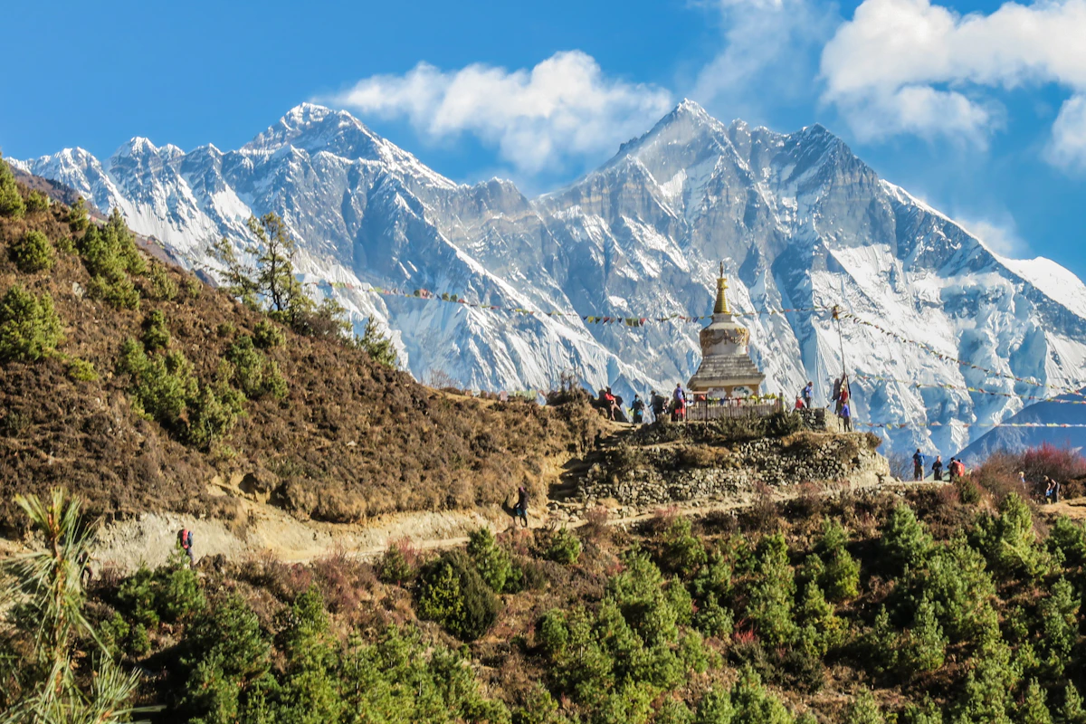
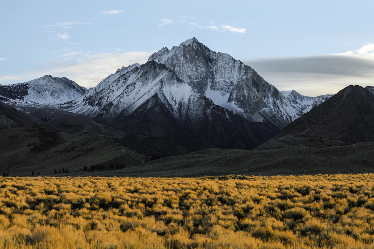
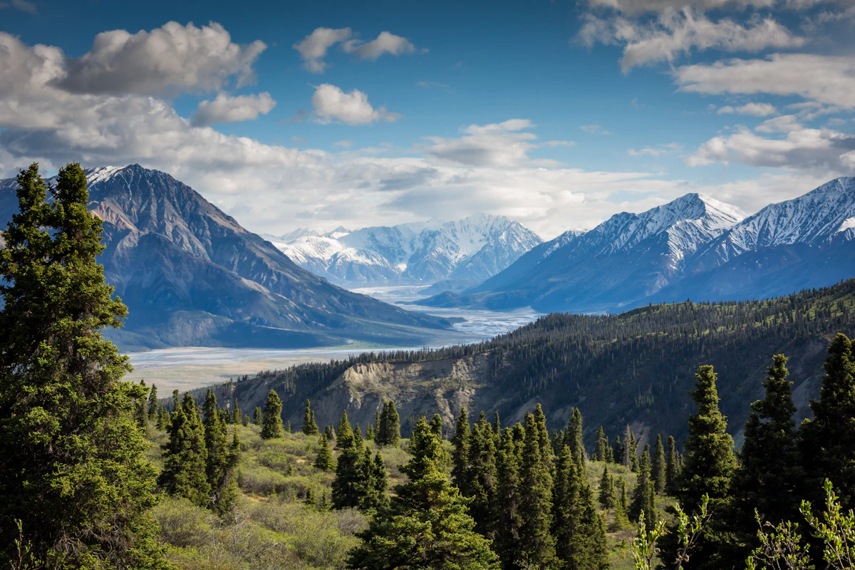
Trail Photos & Videos
High-definition captures and video clips from Himalayan passes, glacial lakes, Sherpa villages, and mountain summits.


Mera Peak Climbing (15 Days) Trail Map
Interactive OpenStreetMap topographic trail map tracing the route.
Key High-Altitude Stops
Compatible with Garmin, Apple Watch, Strava & Gaia GPS
Mera Peak Climbing (15 Days) Weather Center
Real-time mountain weather and 5-day altitude forecasts across key Mera Peak Climbing (15 Days) waypoints.
Loading weather for ...
Choose waypoint
Altitude Chart & Acclimatization Nodes
Strict adherence to "Hike High, Sleep Low" ensures safe high-altitude adaptation.
Complete Itinerary Route
Explore the detailed day-by-day routing, acclimatization schedule, and trek milestones.
Kathmandu to Phaplu
HighlightYou take a long bumpy drive from Kathmandu over rough roads toward the Solukhumbu region. The vehicle climbs through forested ridges before dropping down into Phaplu village. Air temperatures cool significantly by evening. You settle into a basic wooden lodge to rest after hours of travel.
Phaplu to Paiya
HighlightThe trail starts climbing past terraced fields and pine forests on damp soil. You cross suspension bridges over rushing mountain streams while managing your pack weight. Paiya village offers simple stone lodging where rooms stay cold after sunset. Drink treated water frequently to stay hydrated.
Paiya to Panggom
Expect a steep uphill climb through dense rhododendron woods with muddy roots across the path. The route wraps around damp hillsides before reaching the traditional Sherpa settlement of Panggom. Nights drop below freezing, so secure a warm sleeping bag inside the wooden dining hall.
Panggom to Ningsow
You traverse rolling hillsides beneath a canopy of moss-laden trees and bamboo thickets. The trail remains quiet compared to busier trekking corridors in other regions. Ningsow features modest guesthouses where wood stoves provide the only source of warmth during chilly evenings.
Ningsow to Chhatra Khola
HighlightThis rugged section involves steady climbing through remote wilderness areas with damp ground underfoot. You gain elevation gradually while navigating exposed ridges and dense forest brush. Chhatra Khola provides a very rustic resting spot near a rushing river course.
Chhatra Khola to Kote
The trail follows the Hinku Khola valley upstream on rocky terrain mixed with gravel paths. Cold mountain winds pick up by midday through this narrow gorge. Kote is a larger settlement with stone lodges where you can dry your gear and eat warm dal bhat.
Kote to Thagnak
You trek alongside glacial moraines with towering rock walls rising steeply on both sides. Altitude starts affecting breathing speed as you cross open alpine terrain. Thagnak sits near a freezing glacial lake where lodge rooms lack insulation against severe night frosts.
Thagnak Acclimatization Day
AcclimatizationUse today to hike up local ridges to help your body adjust to thinner oxygen levels. Headaches are common here if you fail to drink enough treated water throughout the day. Rest in the afternoon and check your climbing boots and crampons for tomorrow.
Thagnak to Khare
The trail climbs steeply over loose glacial debris and rock slabs beneath massive ice faces. Strong valley winds sweep across the path, making layers essential from the start. Khare is the main basecamp hub where climbers prepare gear and hire local guides if needed.
Khare Training Day
HighlightSpend the morning practicing ice axe arrest, rope walking, and crampon technique on nearby snow slopes. Proper skills practice is vital for navigating crevasses safely on summit night. Eat high-carbohydrate meals to keep your energy reserves full at this altitude.
Khare to Mera Peak High Camp
HighlightYou scramble up a steep, rocky ridge path that leads directly onto the Mera Glacier. The air is thin and cold, requiring a slow, steady pace to prevent exhaustion. High Camp consists of rocky tent platforms exposed to biting winds, requiring secure guylines.
High Camp to Mera Peak Summit and back to Khare
HighlightYou start before midnight in sub-zero temperatures, walking roped across the glacier on a gradual snow slope. The final ridge climb is steep and exhausting under thin morning air. After reaching the summit view point, retrace your steps down to Khare for a late meal.
Khare to Kote
Descend rapidly down the rocky valley path as oxygen levels improve and breathing becomes easier. Your knees absorb substantial impact on the long downhill stretches over loose stones. Arrive back in Kote to lower elevations and warmer indoor temperatures.
Kote to Thuli Kharka
HighlightThe route climbs away from the riverbed through forested slopes and steep uphill switchbacks. Trekkers often feel tired from the cumulative effort of the past two weeks. Thuli Kharka features small wooden lodges clustered below the final pass.
Thuli Kharka to Phaplu and Drive to Kathmandu
You make a final descent down stone steps to Phaplu where a vehicle waits for the road journey back. The bumpy drive retraces winding mountain roads toward the capital city. Celebrate the end of your expedition with a hot shower and standard city meals.
What's Covered & What's Not
A clear breakdown so you know exactly what to budget for and what's already taken care of.
Required Trail Permits
- Makalu Barun National Park entry permit, local rural municipality fee, and Nepal Mountaineering Association climbing royalty.
Local Transport
- Domestic flights between Kathmandu and Lukla (or road transport via Phaplu depending on your approach).
Teahouse Accommodation
- Basic twin-share lodge lodging along the Hinku Valley route and shared tent or base camp accommodation at Khare.
Licensed Guide / Porter
- Government-licensed climbing guide and porter hire required under current Nepal Tourism Board regulations.
International Flights
- Airfare from your home country into Tribhuvan International Airport in Kathmandu.
Nepal Tourist Visa
- On-arrival tourist visa fee payable at Kathmandu airport ($30 USD for 15 days, $50 USD for 30 days).
Helicopter Rescue Insurance
- Mandatory travel insurance policy explicitly covering emergency helicopter airlift and medical evacuation up to 6,500 meters.
Trail Incidentals
- Hot showers, battery charging, Wi-Fi access, bottled or boiled drinking water, and personal summit gear rentals.
Trail Meals & Hydration Rules
What to eat for stamina and altitude safety
Dhal Bhat
Steamed rice, lentil soup, and vegetable curry. Order this for dinner because free refills provide the best calorie value on the trail.
Garlic Soup
Clear broth packed with crushed local garlic. Drink this every evening above Kothe to help thin the blood and ease throat dryness.
Boiled Potatoes
Simple starchy tubers served with salt or chili paste. Reliable carbohydrate source when appetite drops at higher elevations.
Tibetan Bread
Thick fried flatbread. Pair with honey or local yak butter for high-energy morning fuel before leaving camp.
Hot Water Refills
Fill two wide-mouth Nalgene bottles with boiled water at night. Keep them inside your sleeping bag to prevent freezing.
Ginger Lemon Honey Tea
Hot brewed tea that cuts the dry mountain cough and counts toward your daily fluid intake goals.
Electrolyte Powders
Mix rehydration salts into treated water during steep climbing days to replace essential minerals.
Purification Tablets
Chlorine dioxide or Aquatabs used on tap water require a full thirty-minute wait time before drinking.
Vegetarian Default
Sticking to lentil, potato, and vegetable meals reduces food poisoning risks significantly above 3,500m.
Rice and Lentil Base
Naturally gluten-free grain meals form the backbone of lodge menus throughout the Hinku Valley.
Black Tea Adaptation
Ask for tea without milk if dairy products trigger stomach sensitivity during physical exertion.
Early Kitchen Orders
Place dinner orders by 5:00 PM so lodge cooks have time to prepare fresh ingredients over gas or wood stoves.
Yak and Buffalo Meat
Skip meat entirely above Kothe. Carcasses are hauled up on foot for days without active refrigeration.
Beer and Spirits
Alcohol accelerates dehydration and suppresses breathing rates during sleep at high altitude.
Untreated Stream Water
Never drink directly from rivers or tap stands without boiling, filtering, or chemical treatment.
Raw Green Salads
Avoid uncooked vegetables washed in untreated local water to prevent severe gastrointestinal illness.
Trip Preparation & Rules
Paperwork, flight baggage limits, and cash guidelines for the Hinku Valley approach
Passport & Tourist Visa
Passport valid for 6+ months. Get 30-day visa ($50 USD cash) on arrival at Kathmandu airport.
High-Altitude Evacuation Insurance
Policy must explicitly cover helicopter rescue up to 6,500m for Mera Central summit. Carry digital and printed copy with emergency contact numbers.
Passport Photos & Copies
Bring 6 printed passport photos (3 for climbing permit, 2 for park permits, 1 spare) plus 3 photocopies of passport photo page.
Medical Declaration Form
NMA requires a signed medical declaration for peaks above 6,000m. Complete honestly — pre-existing conditions don't disqualify but must be disclosed.
Makalu Barun National Park Permit
NPR 3,000 per person (foreigners). Issued at Nepal Tourism Board office in Kathmandu or at park entry gate in Kothe. Valid for single entry.
NMA Mera Peak Climbing Permit
Seasonal royalty: Spring (Mar–May) $250, Autumn (Sep–Nov) $125, Winter/Summer $70. Obtained through registered trekking agency — cannot be purchased individually.
Khumbu Pasang Lhamu Rural Municipality Fee
NPR 2,000 per person. Covers the Lukla to Zatrwa La section. Paid at Lukla airport counter or Monjo checkpoint.
Garbage Deposit & Liaison Officer
Refundable $500 garbage deposit per team (not per person). Liaison Officer assigned by Ministry of Tourism for groups above 6,000m — cost shared among team.
Kathmandu–Lukla 15kg Strict Limit
10kg checked duffel + 5kg cabin bag. Airlines weigh both at check-in. Excess charged at $2–3/kg — payable only in Nepali rupees at Lukla counter.
Ramechhap Diversion (Peak Season)
Mar–May & Oct–Nov: flights operate from Manthali Airport (Ramechhap), 4–5hr drive from Kathmandu. Depart hotel by 1:00 AM for 4:30 AM check-in. Book transport the night before.
Weather Delays Are Normal
Morning fog closes Lukla 30–40% of days in shoulder seasons. Build 2 buffer days before international departure. Helicopter charter ($500–600/person shared) is the only alternative when flights cancel for 2+ days.
Daily Trail Cash: Rs 5,000–7,000
Higher than standard treks — covers lodge meals ($30–40/day), hot showers ($3–5), device charging ($2–3/hr), Wi-Fi ($5/day), and climbing gear rental if not pre-arranged.
Tip Pool: Guide, Porter & Climbing Sherpa
Standard: Guide $10–12/day, Porter $7–8/day, Climbing Sherpa $15–20/day (summit day extra). Pool collected at Khare before summit push — bring clean USD notes or rupees.
No ATMs Past Lukla
Last reliable ATM is Lukla (often empty). Withdraw Rs 50,000–70,000 in Kathmandu. Carry in small denominations (Rs 500, 1000) — lodges rarely have change for large notes.
Emergency Reserve: $300–500 Cash
Separate from daily spending. Covers unexpected helicopter evacuation deposit, extra nights from weather delays, or medical evacuation down-valley. Keep in zip-lock bag in daypack.
Trail Customs & Rules
Practical rules for passing animals, stupas, and village paths in the Hinku Valley
Pass Stupas Clockwise
- •Always keep mani stones, chortens, and prayer walls on your right side while walking.
- •Spin metal prayer wheels in a clockwise direction only.
- •Never sit on mani walls or place equipment on sacred religious stones.
Pack Animal Right-of-Way
- •Step toward the mountain wall side when yak or mule trains pass on narrow ledges.
- •Never stand on the outer cliff edge as loaded animals brush past.
- •Wait until the entire caravan passes before moving to avoid sudden kicks.
Monastery & Portrait Rules
- •Ask for verbal permission before photographing local residents or working porters.
- •Never use flash photography inside monastery prayer halls.
- •Leave a small cash donation in the box if entering active shrines or gompas.
Waste & Plastic Management
- •Carry all non-biodegradable wrappers and battery waste back out to Namche or Lukla.
- •Avoid burning plastics in lodge stoves, as toxic fumes settle over the valley.
- •Refill bottles with treated tap water to eliminate single-use plastic bottles on the trail.
Teahouse Custom
- •Eat breakfast and dinner at the same lodge where you sleep.
- •Order meals early during peak evening rush hours to ease kitchen pressure.
- •Pay for extra items like hot showers and charging batteries on the same day.
Local Interactions
- •Greet locals and fellow travellers with a respectful 'Namaste' with palms together.
- •Dress modestly in villages by covering shoulders and knees out of respect.
- •Avoid giving loose cash or candy to children, which encourages begging.
Permits & Emergency Directory
Current permit fee structures and official emergency contacts for the Hinku Valley and Mera Peak region
Required Permits & Mandatory Fees
-
📜Makalu Barun National Park Permit NPR 3,000 + 13% VAT
Required for entering the protected area encompassing the lower and upper Hinku Valley. Obtain at the NTB office in Kathmandu or at Monjo checkpoint.
-
📜Khumbu Pasang Lhamu Rural Municipality Fee NPR 2,000
Local entrance fee collected at Lukla or Phakding trail checkpoints to support local infrastructure and waste management.
-
☘️NMA Mera Peak Climbing Royalty USD 250 (Spring) / USD 125 (Autumn) / USD 70 (Winter/Summer)
Mandatory Nepal Mountaineering Association royalty for climbing Mera Peak. Must be processed through a licensed Kathmandu trekking agency.
Nepal Tourism Directory
Official contact channels for permits, park regulations, and emergency rescue assistance.
Power, Connectivity & Showers
Realistic day-to-day guide for charging, phones, and hygiene
Device Charging
Common dining rooms charge NPR 300 to 600 per device or power bank battery. Solar electricity is the primary power source above Kothe, so bringing a high-capacity power bank is essential for phone and camera backup.
Mobile Connectivity & Wi-Fi
Nepal Telecom (NTC) and Ncell signals remain functional through the initial ridges and lower valleys, but fade near high passes. Teahouses offer satellite-linked Wi-Fi vouchers in select villages, though speeds drop significantly during peak evening hours.
Hot Showers
Hot bucket or gas showers range from NPR 400 to 600 where available. Above Thagnak, hot showers disappear entirely; cold nighttime temperatures make wet-wipes and quick sponge baths the practical alternative.
Water & Purification
Avoid buying single-use plastic bottles along the route. Use chlorine dioxide tablets, iodine, or a UV purifier with two wide-mouth water bottles. Boiling water at teahouses costs NPR 150 to 300 per liter.
Altitude Safety & Health
How to handle altitude symptoms and emergency protocols
Daily Symptom Monitoring
Watch closely for early acute mountain sickness signs: a throbbing headache unresponsive to standard ibuprofen, loss of appetite, nausea, dizziness, and insomnia.
Ataxia and Coordination Checks
Test for ataxia by walking heel-to-toe in a straight line. Stumbling like a drunk person indicates dangerous neurological swelling and demands immediate evacuation.
Hydration Strategy
Count hot lemon, black tea, and fresh garlic soup toward your daily 3 to 4 liter fluid intake to combat dry mountain air and prevent thick blood.
Emergency Insurance
Verify your travel policy explicitly covers helicopter rescue and emergency medical evacuation up to 6,500 meters before starting the trek.
The Golden Altitude Rule
Dropping 500 to 1,000 meters reverses acute mountain sickness symptoms fast and saves lives. Never wait until nightfall if severe breathing trouble or a gurgling cough sets in.
Highland Villages & Wildlife
Indigenous communities and wildlife along the trail
Sherpa & Rai Settlements
Upper Hinku and Hongu river valleys are inhabited primarily by Sherpa and Rai communities, whose stone-built villages feature traditional slate-roofed homes and terraced farming plots.
Central Hearth Architecture
Lodge dining rooms rely on a central metal or stone stove fueled by dried scrub wood and yak dung, serving as the sole gathering point for heat and drying gear.
Traditional Woolen Weaving
Local families process high-altitude sheep and yak wool into heavy blankets, carpets, and durable trail wear suited for sub-zero mountain conditions.
High-Altitude Chortens & Mani Walls
Stone mani walls carved with Buddhist mantras and white-washed chortens mark mountain pass approaches and village thresholds throughout the valley.
Sacred Mountain Guardians
Mera Peak and surrounding Himalayan massifs are regarded locally as sacred entities that demand respect, traditional offerings, and safe passage rituals before climbing.
Valley Shrines & Monastic Outposts
Small prayer rooms and seasonal shrines maintained by resident monks offer spiritual anchors for guides, porters, and climbing parties entering the upper glacial zones.
Himalayan Tahr & Danphe
Steep rocky cliffs conceal agile Himalayan tahr, while national birds like the colorful Danphe pheasant inhabit lower sub-alpine rhododendron forests.
Rhododendron & Juniper Scrub
Spring ascents pass through dense forests of blooming red and pink rhododendrons, giving way to hardy dwarf juniper shrubs as the elevation climbs above 4,000 meters.
Lammergeiers & Alpine Raptors
Large bearded vultures and golden eagles ride thermal updrafts along high ridge corridors, scanning glacial moraines and river valleys for carrion.
Essential Packing Checklist
Prepare 1 duffel bag (handled by porter team) and 1 daypack for personal warm layers & water.
Frequently Asked Questions
Honest answers about the Mera Peak Climbing (15 Days) route