

Pikey Peak Trek (6-7 Days) 7 Days Guide
Trail notes for Pikey Peak Trek (6-7 Days). Daily walking hours, pass elevations, teahouse stops, and permit logistics.
Pikey Peak Trek
7-day route along the lower Solukhumbu ridge. Daily climbs range from 400m to 900m on stone steps and dirt trails, topping out at 4,065m with wide views across the high Himalaya.
Key Trail Realities
What to expect along the route
Panoramic Summit Views
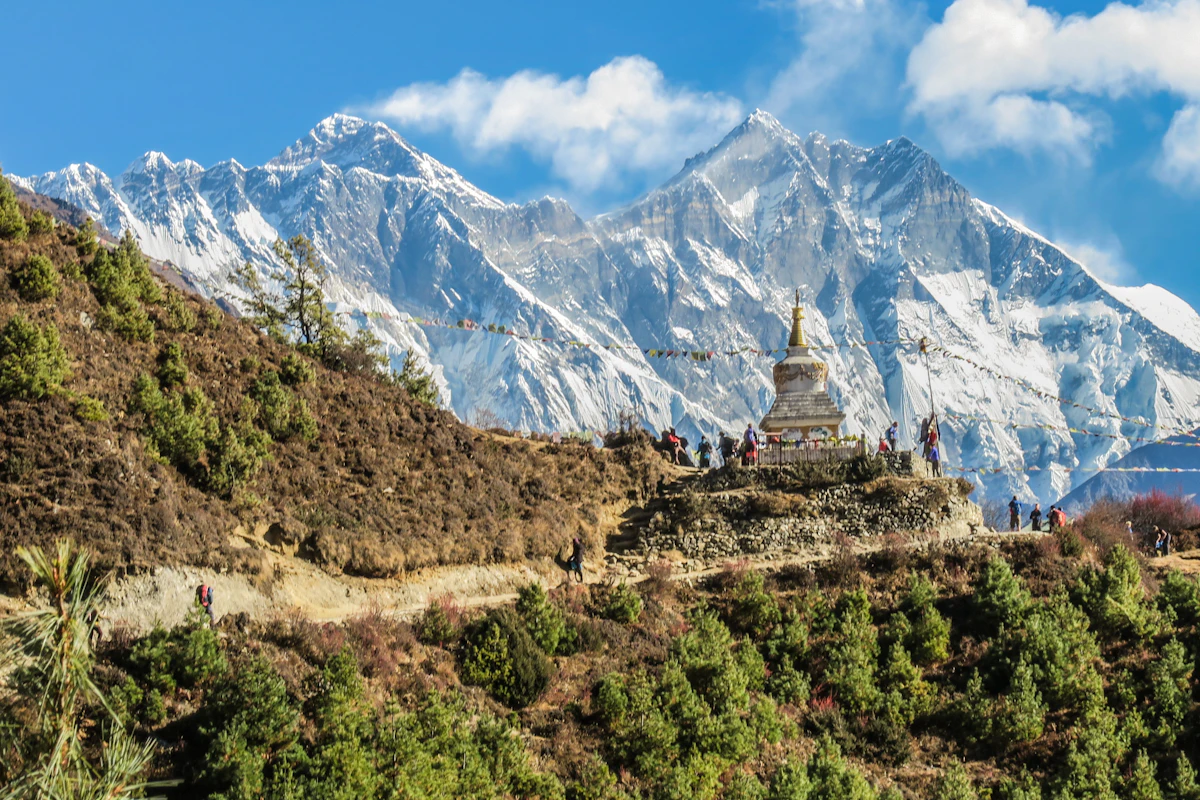
At 4,065 meters, the summit ridge offers unobstructed views stretching from Makalu and Everest down to Dhaulagiri on clear winter mornings.
Historical Monasteries
Pass through quiet Sherpa settlements and visit centuries-old Buddhist monasteries like Chiwang and Thupten Choling along the lower ridges.
Solitude-Focused Trail
Unlike the crowded Khumbu corridor, this route sees significantly fewer trekkers, providing a quieter trekking experience through traditional villages.
Diverse Forest Terrain
The path winds through dense rhododendron and pine forests that burst into red and pink blooms during the spring climbing season.
Authentic Teahouse Culture
Lodges are family-run and rely on local wood stoves for heat, offering simple dal bhat, Tibetan bread, and local milk tea.
Flexible Road Access
Road heads at Dhap or Jiri allow for direct 4WD jeep transport from Kathmandu without reliance on mountain airstrip weather windows.
Gradual Elevation Profile
Daily gains are generally modest, making it suitable for hikers looking for high Himalayan vistas without extreme high-altitude exposure.
Local Dairy Farms
Encounters with traditional cheese factories established along the ridge lines producing yak and cow milk cheese.
Trail Photos & Videos
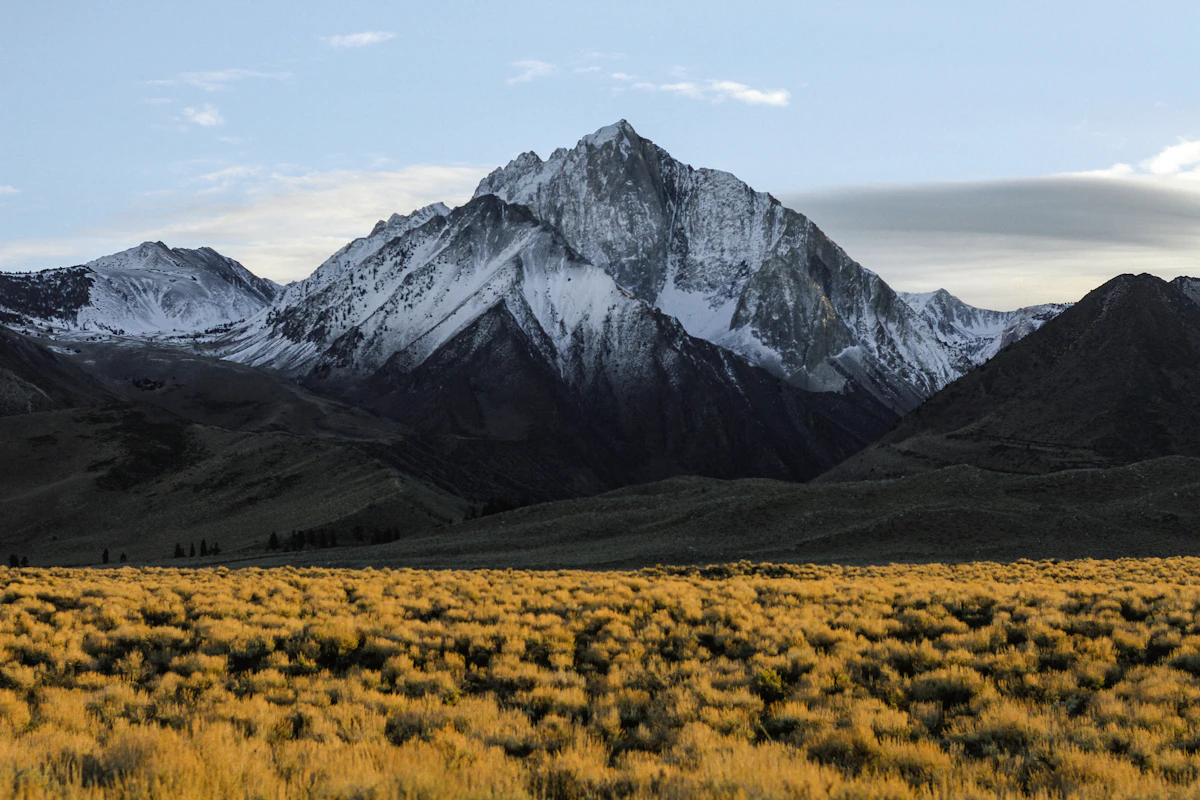
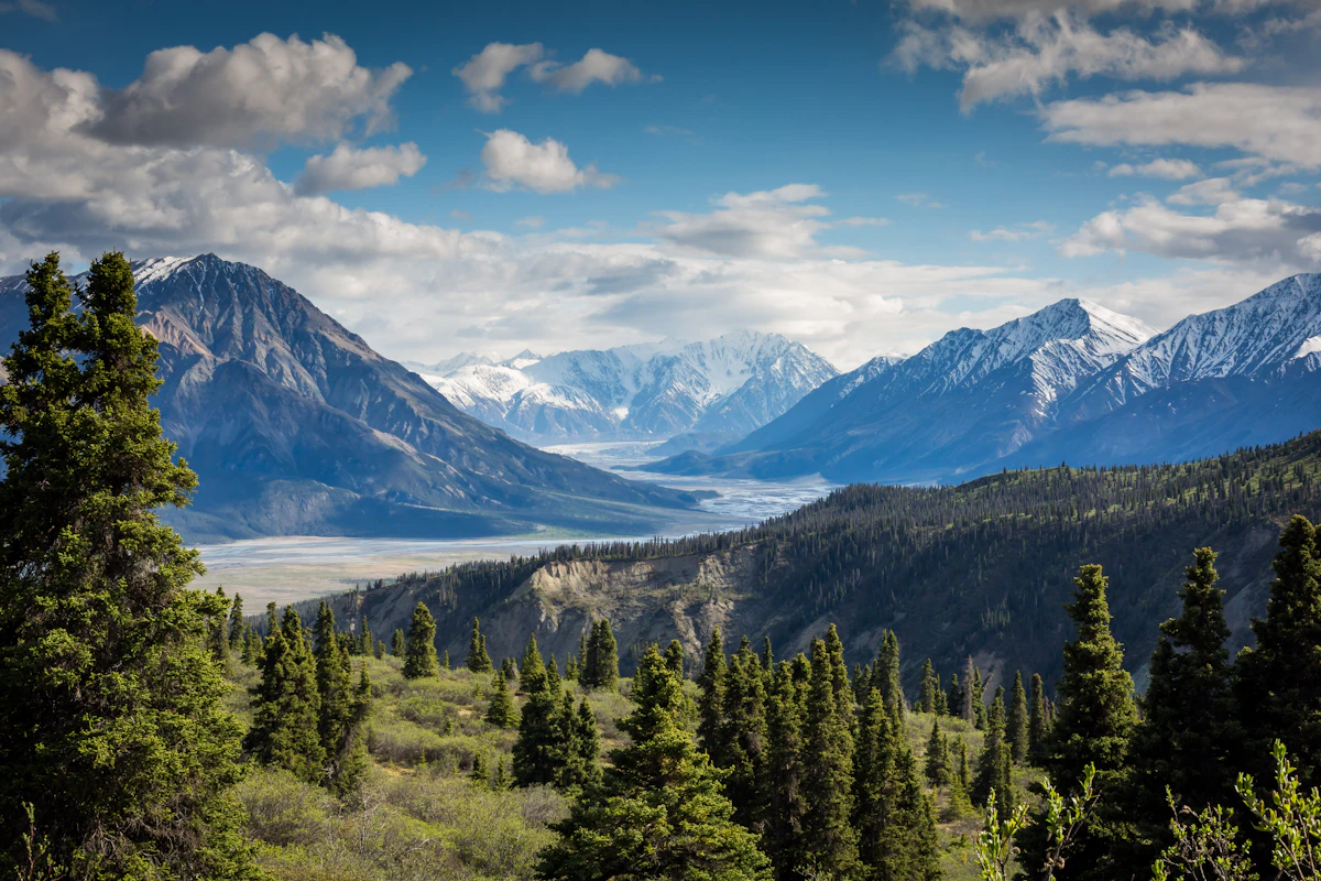
High-definition captures and video clips from Himalayan passes, glacial lakes, Sherpa villages, and mountain summits.


Pikey Peak Trek (6-7 Days) Trail Map
Interactive OpenStreetMap topographic trail map tracing the route.
Key High-Altitude Stops
Compatible with Garmin, Apple Watch, Strava & Gaia GPS
Pikey Peak Trek (6-7 Days) Weather Center
Real-time mountain weather and 5-day altitude forecasts across key Pikey Peak Trek (6-7 Days) waypoints.
Loading weather for ...
Choose waypoint
Altitude Chart & Acclimatization Nodes
Strict adherence to "Hike High, Sleep Low" ensures safe high-altitude adaptation.
Complete Itinerary Route
Explore the detailed day-by-day routing, acclimatization schedule, and trek milestones.
Kathmandu to Dhap
The journey starts with a long vehicular drive out of the Kathmandu valley on bumpy dirt roads toward the lower Solukhumbu region. You will encounter vehicle dust and winding hillside tracks before reaching the starting settlement of Dhap. Nights here get chilly quickly, so keep your fleece handy inside the basic wooden lodge.
Dhap to Jhapre
HighlightYou hike along quiet ridge trails passing through pine forests and open pasture land with early views of distant peaks. The path involves gentle ascents mixed with short flat stretches that help your legs adjust to the rising altitude. Expect a windy afternoon as you arrive at the small hillside village of Jhapre.
Jhapre to Pikey Peak Base Camp
HighlightThe trail climbs steadily uphill through thick rhododendron woods and rocky terrain where the air begins to thin noticeably. Water sources become scarce along this ridge section, so make sure to refill your bottles before leaving Jhapre. Temperatures drop sharply after sunset at base camp, requiring heavy sleeping bags and thermal layers.
Base Camp to Pikey Peak Summit and down to Junbesi
HighlightAn extremely early pre-dawn start takes you up a steep, freezing ridgeline to reach the summit for sunrise views across the high Himalaya. After taking in the panorama, you descend steeply down loose dirt paths through forest trails toward the traditional Sherpa village of Junbesi. The long downhill stretch places heavy impact on your knees, making trekking poles essential.
Junbesi to Taksindu
HighlightThe route crosses suspension bridges over rushing rivers before climbing up stone steps toward ancient local monasteries. You will navigate muddy patches shaded by dense canopy cover where damp air lingers throughout the morning hours. Taksindu offers a quieter overnight stay with simple rooms and hearty dal bhat to restore your energy.
Taksindu to Phaplu
This final walking day descends gradually through farm terraces, pine groves, and small rural settlements with friendly local greetings. The terrain is mostly straightforward dirt tracks with occasional rocky drainage cuts from recent monsoon rains. Arriving in Phaplu lets you celebrate finishing the trek with easier access to local transport.
Phaplu to Kathmandu
You board a local jeep or return flight back to Kathmandu, enduring another long day of bumpy mountain transport. Traffic and road conditions heavily dictate arrival times, so avoid booking tight international connections for this evening. Reflect on the quiet trails and physical effort required to complete the complete circuit.
What's Covered & What's Not
A clear breakdown so you know exactly what to budget for and what's already taken care of.
Local Municipality Permits
- Local government entry fees for the Solududhakunda region.
Trailhead Transport
- Shared jeep connection from Kathmandu or Dhap depending on the starting approach.
Teahouse Lodging
- Basic twin-share mountain lodge accommodation along the ridge trail.
Authorized Guide Services
- Mandatory licensed local guide arranged per current Nepal Tourism Board regulations.
International Airfare
- Flights from your home country to Kathmandu.
Tourist Visa Fees
- Standard visa on arrival at Tribhuvan International Airport.
Emergency Evacuation Policy
- Mandatory medical insurance covering high-altitude helicopter rescue.
On-Trail Incidentals
- Hot shower fees, battery charging charges, Wi-Fi tokens, and bottled or boiled drinking water.
Trail Meals & Hydration Rules
What to eat for stamina and altitude safety
Dhal Bhat Power
Rice, lentil soup, spiced potato, and seasonal greens. Always comes with free refills to refuel after hours on the trail.
Garlic Soup
Thin clear garlic broth. Local guides rely on this soup above 3,500m to help with blood circulation and warmth.
Boiled & Fried Potatoes
Dense carbohydrate source served with local cheese or chili paste in higher mountain settlements.
Tibetan Bread & Honey
Deep-fried puffed flatbread. Hearty breakfast before an early morning climb.
Sherpa Stew
Thick vegetable and hand-pulled flour noodle soup served steaming hot in local teahouses.
Boiled Eggs
Safe, reliable protein source available every morning at lodge kitchens.
Boiled Water Bottles
Buy boiled water at night and keep the bottle inside your sleeping bag for warmth.
Ginger Lemon Honey Tea
Warm drink that cuts the dry mountain cough and stays hot in an insulated container.
Electrolyte Packs
Add one electrolyte sachet to water daily to replace salts lost on steep ascents.
Water Purification Drops
Use chlorine dioxide tablets for tap water and wait the full 30 minutes before drinking.
Vegetarian Focus
Vegetarian dhal bhat and veg noodles are consistently the freshest food on mountain trails.
Naturally Gluten-Free
Rice dishes, plain boiled potatoes, and buckwheat porridge are naturally gluten-free options.
Black Tea Option
Ask for black tea to avoid powdered milk if you are sensitive to lactose.
Lodge Kitchen Flexibility
Cooks can prepare food with less spice upon request if you order before evening rush.
No Meat Above 3,500m
Meat is carried up on foot for days without refrigeration. Stick to vegetarian meals at higher altitudes.
No Alcohol at Altitude
Alcohol causes rapid dehydration and masks early warning signs of altitude sickness.
Never Drink Untreated Water
Never drink directly from village taps or mountain streams without filtration or purification tablets.
Skip Raw Salads
Stick to thoroughly cooked hot vegetables to prevent stomach upsets.
Trip Preparation & Rules
Paperwork, baggage allowances, and cash logistics
Passport & Tourist Visa
Ensure your passport is valid for at least six months beyond your arrival date. Obtain a 30-day tourist visa on arrival at Kathmandu airport using cash or card.
Emergency Rescue Insurance
Verify your insurance policy covers high-altitude mountain rescue up to 5,000 meters. Keep paper and digital copies of your policy and emergency contact numbers accessible.
Passport Photographs
Carry four physical passport-sized photographs. These are required for local municipality registration and national park permit paperwork.
Khumbu Pasang Lhamu Permit
Local rural municipality entry permit (NPR 3,000) obtained upon arrival in Lukla or Monjo. Note: TIMS cards are not required or valid in the Khumbu region.
Sagarmatha National Park Permit
Mandatory national park entry permit (NPR 3,000 + 13% VAT = NPR 3,390) obtained in Kathmandu at the Tourism Board or directly at the Monjo park entrance.
Licensed Guide Requirement
Under Nepal Tourism Board regulations, foreign trekkers must trek with a licensed government guide for safety and environmental sustainability.
Domestic Baggage Restrictions
Stricter weight limits apply on regional mountain aircraft. Pack a maximum of 10kg for your checked duffel and 5kg for your carry-on daypack.
Excess Weight Fees
Exceeding weight limits incurs steep per-kilogram charges at the domestic terminal check-in counter.
Weather-Related Delays
Build two extra buffer days into your total travel schedule to account for mountain flight cancellations caused by low visibility or high winds.
Daily Cash Budget
Carry enough Nepalese Rupees to cover daily meals, hot showers, device charging, and bottled drinks. Budget roughly 4,000 to 5,000 NPR per day.
ATM Availability
Do not rely on finding working cash machines once you leave district hubs. ATMs in mountain settlements are absent or frequently offline.
Small Denominations
Teahouse operators struggle to provide change for large 1,000 NPR notes, especially for small purchases. Stock up on smaller notes in Kathmandu or Ramechhap.
Trail Customs & Rules
Practical rules for passing animals, stupas, and village paths
Pass Stupas Clockwise
- •Always keep Mani walls, chortens, and prayer wheels on your right side while walking.
- •Walk around stupas in a clockwise direction as a sign of respect.
- •Never sit, climb, or place equipment on inscribed prayer stones.
Pack Animal Right-of-Way
- •Step toward the mountain wall when yaks, mules, or dzopkyos pass along narrow cliffside paths.
- •Avoid standing on the outer drop-off edge where startled animals might bump you.
- •Wait patiently until the entire pack train clears before resuming your pace.
Photography Protocols
- •Ask permission before photographing village residents, elders, or working porters.
- •Refrain from taking pictures inside active monastery prayer halls where photography is prohibited.
- •Offer a modest donation in the monastery box if monks permit you to view sacred altars.
Waste Management
- •Carry all non-biodegradable trash, including wrappers and batteries, back to lower towns for proper disposal.
- •Avoid tossing wet wipes or plastic waste into teahouse fire pits or open pits.
- •Refill reusable water bottles rather than purchasing single-use plastic bottles along the route.
Cultural Respect in Villages
- •Remove footwear before entering teahouse dining rooms, local homes, and monastery sanctuaries.
- •Dress modestly by covering shoulders and knees, particularly when visiting religious sites.
- •Greet locals with a palms-together 'Namaste' rather than casual handshakes.
Monastery & Shrine Behavior
- •Maintain a quiet voice and respectful demeanor inside gompas and around sacred shrines.
- •Avoid touching hanging prayer flags or ceremonial instruments without permission.
- •Follow local caretaker instructions regarding restricted areas and active prayer times.
Permits & Emergency Directory
Current permit fee structures and official emergency contacts for the Pikey Peak trail
Required Permits & Mandatory Fees
-
📜Local Municipality Fee NPR 2,000
Required rural municipality development fee collected at regional trail entry checkpoints across the Solududhakunda region.
-
📜TIMS Card (Trekkers' Information Management System) NPR 2,000
Mandatory trekker registration card required for independent or guided trekkers in the region, obtainable through authorized agencies or NTB.
-
☘️Mandatory Guide Regulation NPR Variable
The Nepal Tourism Board requires foreign trekkers in mountain regions to engage a licensed trekking guide through a registered agency.
Nepal Tourism Directory
Official contact channels for permits, park regulations, and emergency rescue assistance.
Power, Connectivity & Showers
Realistic day-to-day guide for charging, phones, and hygiene
Device Charging
Electricity in teahouses comes from small solar setups or hydro systems. Charging phones or power banks in communal dining areas costs between NPR 300 and 600 per device. Bring a high-capacity power bank to keep cameras and phones alive during cold nights.
Mobile SIM & Data
Nepal Telecom (NTC) provides better signal coverage along ridge paths and high viewpoints compared to Ncell. Data connectivity drops out entirely in forested ravines and shadowed valley bottoms.
Hot Showers
Bucket showers heated by gas or firewood are available at lower elevation lodges for an extra fee ranging from NPR 400 to 700. Above 3,500 meters, indoor temperatures drop sharply, making hot showers risky for sudden chills; use biodegradable wet wipes instead.
Wi-Fi Access
Everest Link prepaid Wi-Fi cards work at select teahouses along the ridge route, though connection speeds fluctuate wildly depending on weather and user congestion. Do not rely on internet access for remote work.
Altitude Safety & Health
How to handle altitude symptoms and emergency protocols
Daily Symptom Monitoring
Watch closely for early acute mountain sickness signs: a throbbing headache that ibuprofen fails to touch, loss of appetite, nausea, and dizziness.
Effective Hydration Strategies
Count hot lemon, black tea, and fresh garlic soup toward your daily fluid intake. Dark urine is a reliable early warning sign of dehydration.
Mandatory Evacuation Insurance
Verify your policy covers emergency helicopter rescue up to 4,000 meters, as evacuation from remote ridges requires upfront financial guarantee or valid insurance dispatch.
Descent Protocol
When ataxia, a persistent wet cough, or worsening confusion sets in, dropping 500 meters down the ridge reverses symptoms rapidly and saves lives.
The Golden Altitude Rule
If you experience a throbbing headache, dizziness, or vomiting, do not push higher toward the viewpoint. Stop, rest, and if symptoms persist or worsen overnight, descend immediately to a lower lodge. Descent is the only definitive cure for altitude sickness.
Highland Villages & Wildlife
Indigenous communities and wildlife along the Pikey Peak trail
Sherpa and Tamang Settlements
Historic villages featuring traditional stone-and-timber architecture inhabited predominantly by Sherpa and Tamang communities.
Traditional Hearth & Hospitality
Family-run teahouses warmed by central iron stoves where travellers gather to share meals and stories during cool mountain evenings.
Agro-Pastoral Livelihoods
Highland farming practices cultivating potatoes, barley, and buckwheat on steep terraced hillsides alongside seasonal yak grazing.
Ridge-Top Mani Stones
Weathered stone tablets and mani walls carved with Buddhist mantras lining the approaches to high viewpoints.
Buddhist Chortens & Stupas
Sacred whitewashed stupas marking trail junctions and village entrances across the Solu region.
Local Monastic Shrines
Small village gompas and prayer rooms maintained by local elders as centres of community spiritual life.
Mid-Altitude Fauna
Temperate forests harbouring barking deer, langur monkeys, and diverse highland bird species.
Rhododendron Forests
Expansive groves of wild rhododendron trees that burst into brilliant red and pink floral displays during the spring climbing season.
High-Altitude Raptors
Eagles and hawks thermalling above open ridge lines and agricultural valleys along the southern Solu route.
Essential Packing Checklist
Prepare 1 duffel bag (handled by porter team) and 1 daypack for personal warm layers & water.
Frequently Asked Questions
Honest answers about the Pikey Peak Trek route